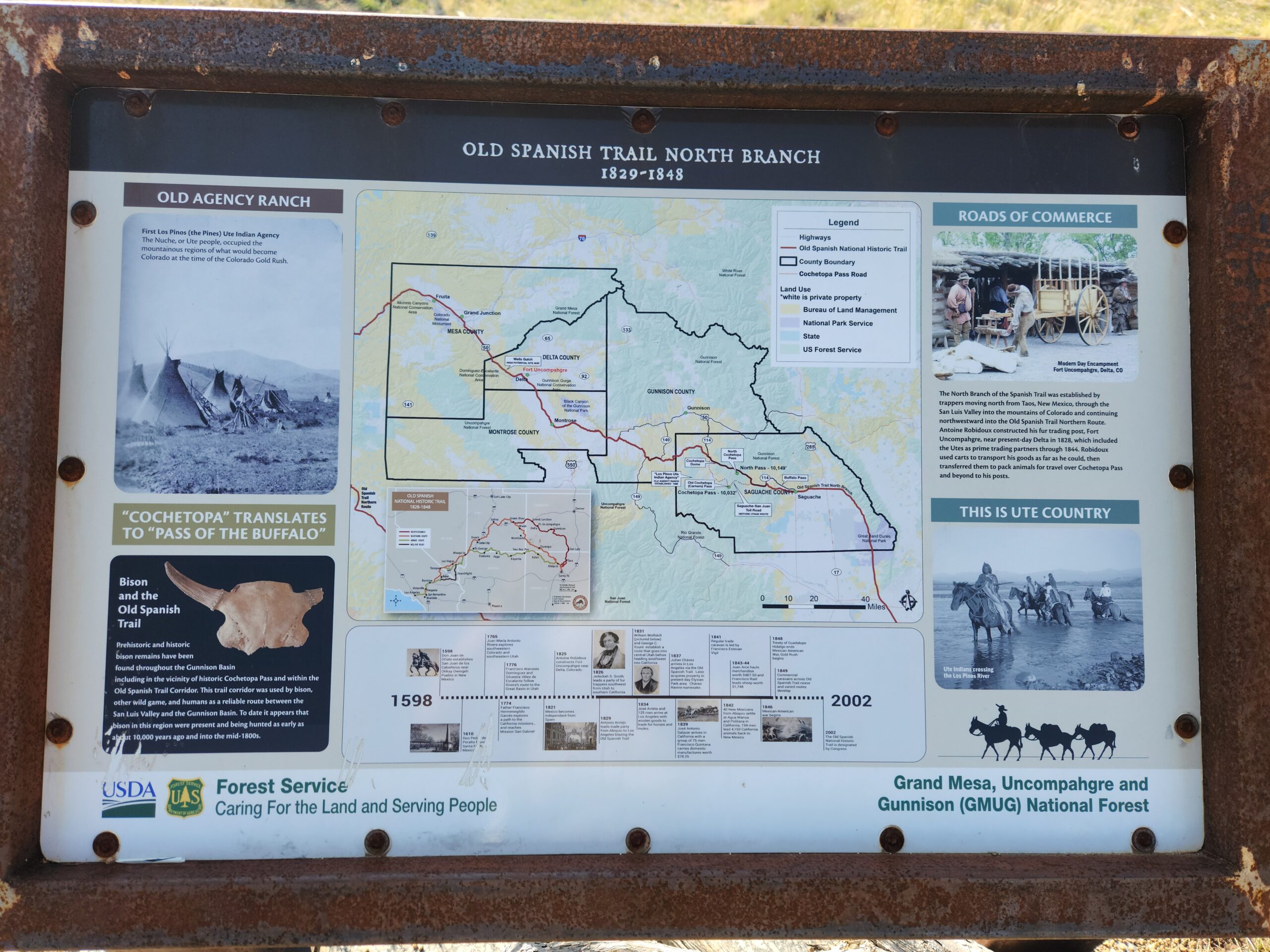
Monarch Pass/Salida to Spring Creek Pass / Lake City. Warning, huge picture post again.
This section was early September 2025. It’s been hard to focus on this.
I’ve gotten feedback that the blogs are clinical, because the text focuses a lot on the mileage and logistics. I leave the description to the pictures. I’ll try and include more.
Day1 – Monarch Pass – 204.5 miles to go
When I arrived at the Hostel, I spoke briefly with the manager, then with a woman from Tahiti who was a guest there. As we ate dinner in the kitchen, another guest showed up – an artist doing a sort of work-for-stay situation. She managed the hostel, cleaned up, etc, and they let her park her little trailer RV out back. The San Juans sounded amazing. There were muffins baking for the morning breakfast.
In the room I shared, there were 2 other hikers, both were on short vacations from work or whatever grownup things they had going on. Each planned to be out by 5. I showered, closed my eyes and woke up at 7am. Nobody around, not even the manager, but plenty of muffins left, and the coffee pot was full, so I ate a quick bite, packed up, and headed out. The start, at least, of the last leg of the journey. I was in no hurry to go back to the real world, so I walked the mile or so and strolled around downtown Salida, looking for coffee. I picked up my mail, some snacks and other things, and found a coffee shop. I guy in early morning Salida asked me if I was doing the CDT, and when I said yes he told me good luck.
At 2nd breakfast, I spoke with a couple of interesting dudes. First was “HI I’M PAUL” a local fellow who seemed to know everyone, or at least everyone knew him. He was super smiley. “HI I’M PAUL” he said to everyone who came into the shop. Eventually Paul left, and another guy sat down. I forget how we got on the subject, but before long he was explaining to me about alien landings, and all the underground army bases that interconnected via tunnels throughout the whole west. He knew a guy who knew a US Marine who had to battle the aliens down there (they’re still there, you see) and had laser burns on his arm from the fight. Because space aliens always use laser guns. Eventually I got the people to fill my water bottles and left.
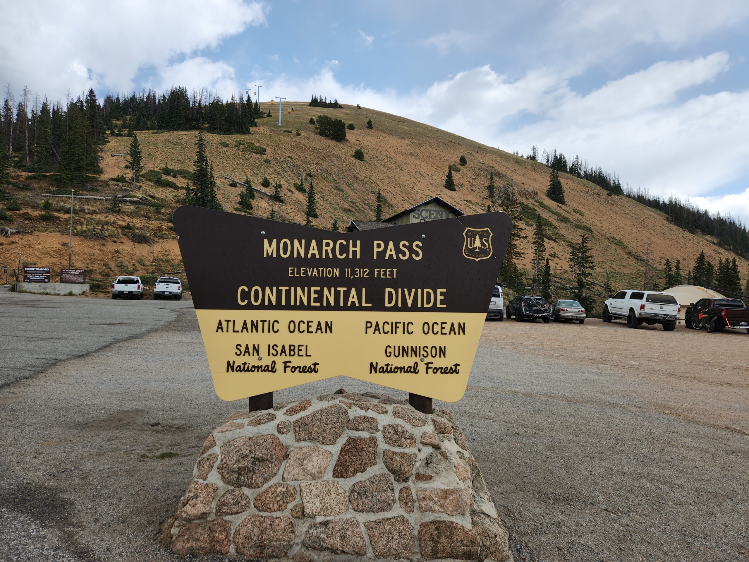
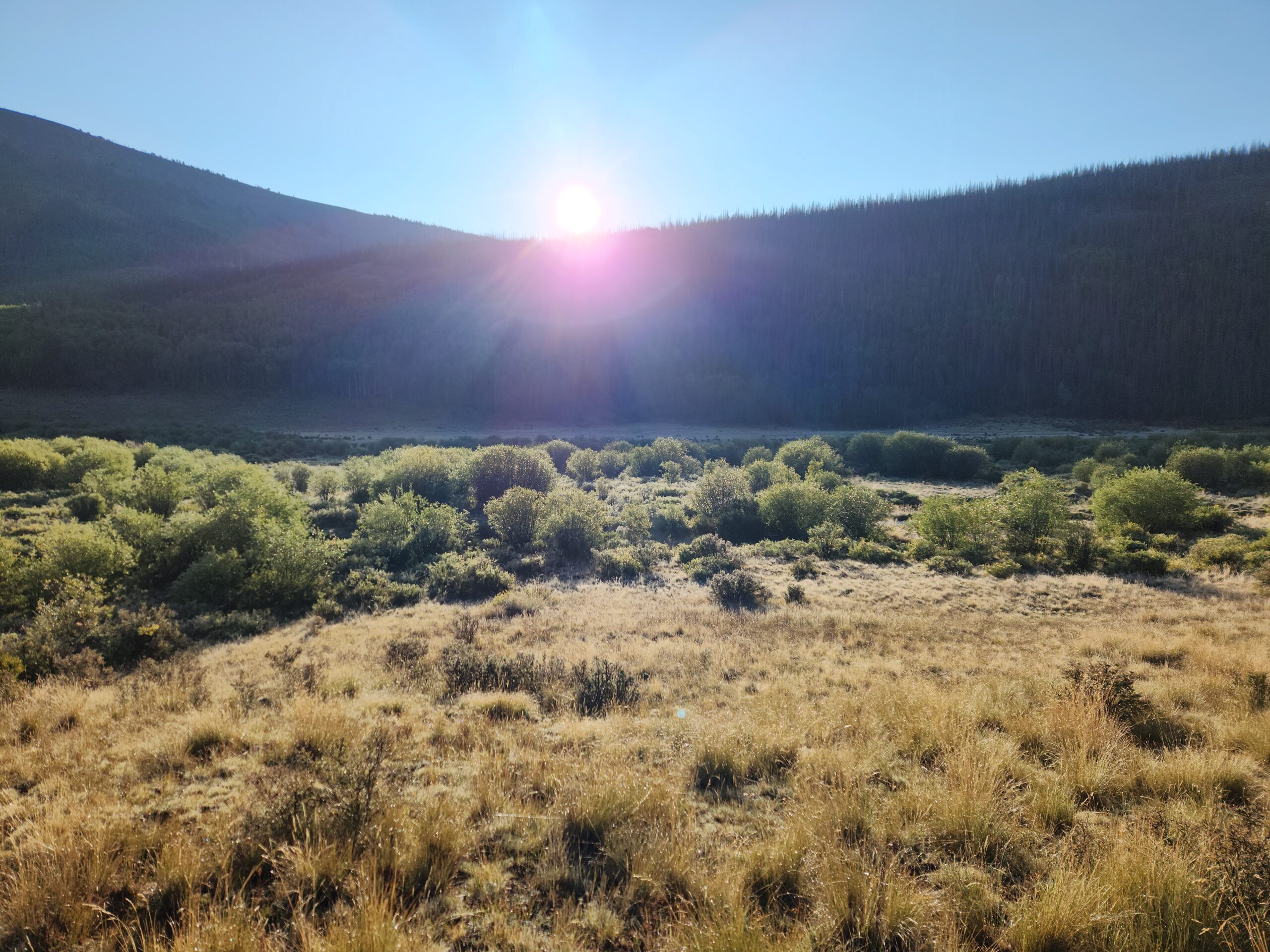
After filling up 5 days of hiker-hunger meals at the Safeway, I started hitching. Last time it was a pretty grim ride, so I walked out, past the skate park where I had called Shana in 2022, past the Walmart, and kind of stood on the edge of the strip. After maybe 40 minutes a woman pulled over in a little hatchback. Most of the back was full of camping gear, clothes, and probably a 90lb dog named ‘Scoob’. He was a Doberman/Weimeraner mix. Kind of a pale cream/brown color. He kept trying to climb into the front seat with me. The woman worked nearby, doing rafting and ski resort stuff. She had to keep stopping to blow into this anti-DUI device attached to the car to keep it going. We talked a little bit about farms and goats, and it turns out she helped her parole officer rescue a little goat, which they named “Dewey”, as in D-U-I. She dropped me off up in the thin air of Monarch Pass, where I took a picture.
It was a weird sense of deja-vu, and a little bit of that feeling at the top of a roller coaster, right before you start to head back down. About 200 miles to go!
I went into the rest area/gift shop at the pass. There’s a cable car thing you can take up to see a view, so there was a ton of touristy stuff. Ordered a burrito then made my way to the ‘Hiker Room’ in back. They put us in the back to keep us away from the fancy people. A handful of CT hikers were stopping in to get mail and food, so we swapped stories and advice about the trail (both north and south of here). The hiker box had lots of good extra food, so my pack got even heavier.
I ran into a lady hiker named Care Bear that I had camped with on my 2nd night in Glacier! She was fast then, and had raged southbound all summer. I found out she was ALSO finishing at Wolf Creek Pass / Pagosa Springs, since she had started NOBO in April, then flipped because of snow. Which explained why she was so fast in Glacier – already had 800 miles on her legs. She was taking the day off in Salida, but I knew even with that she’d pass me. She was meeting her sister on a specific date at the Pass, so she was on a hard schedule.
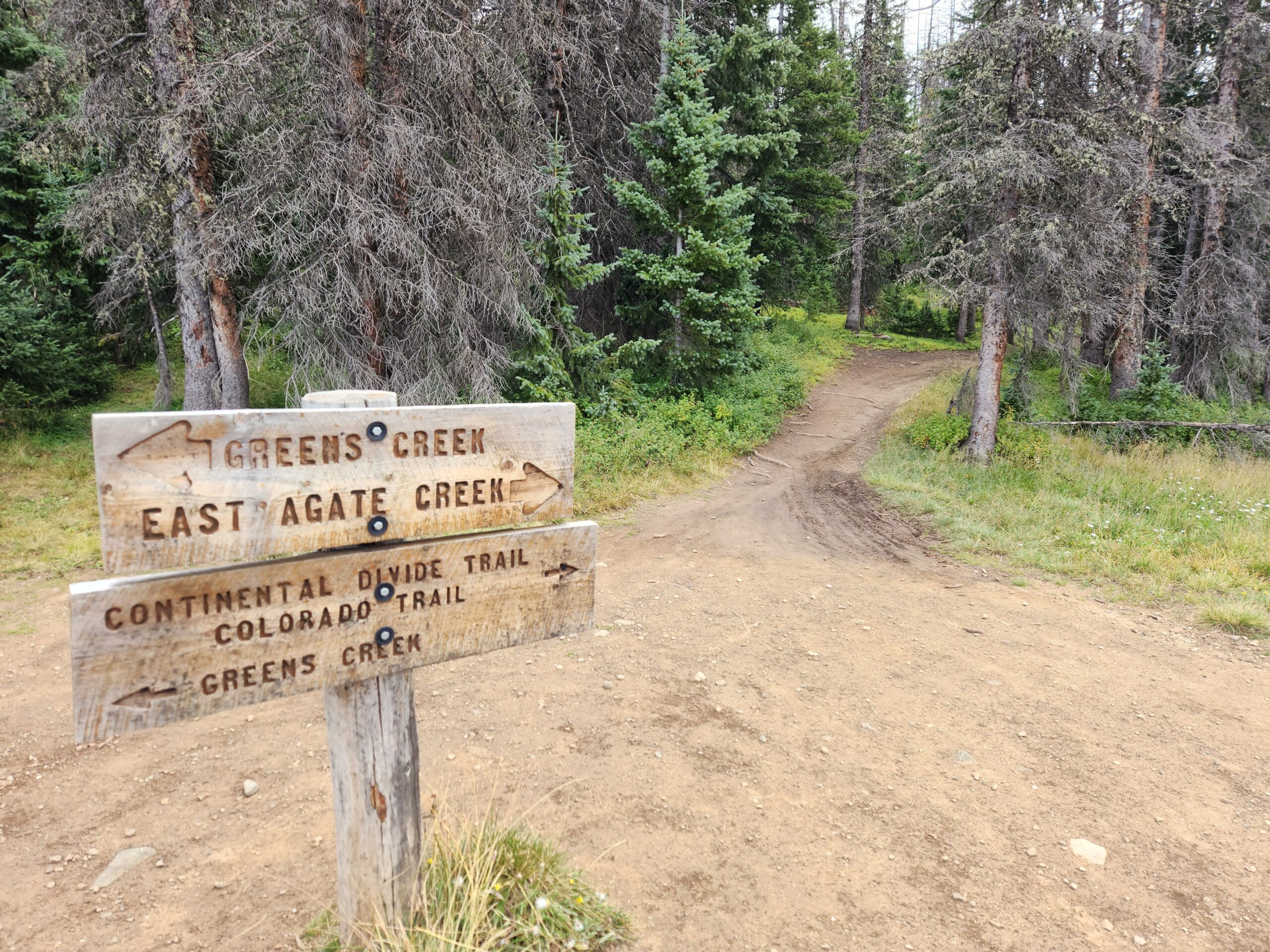
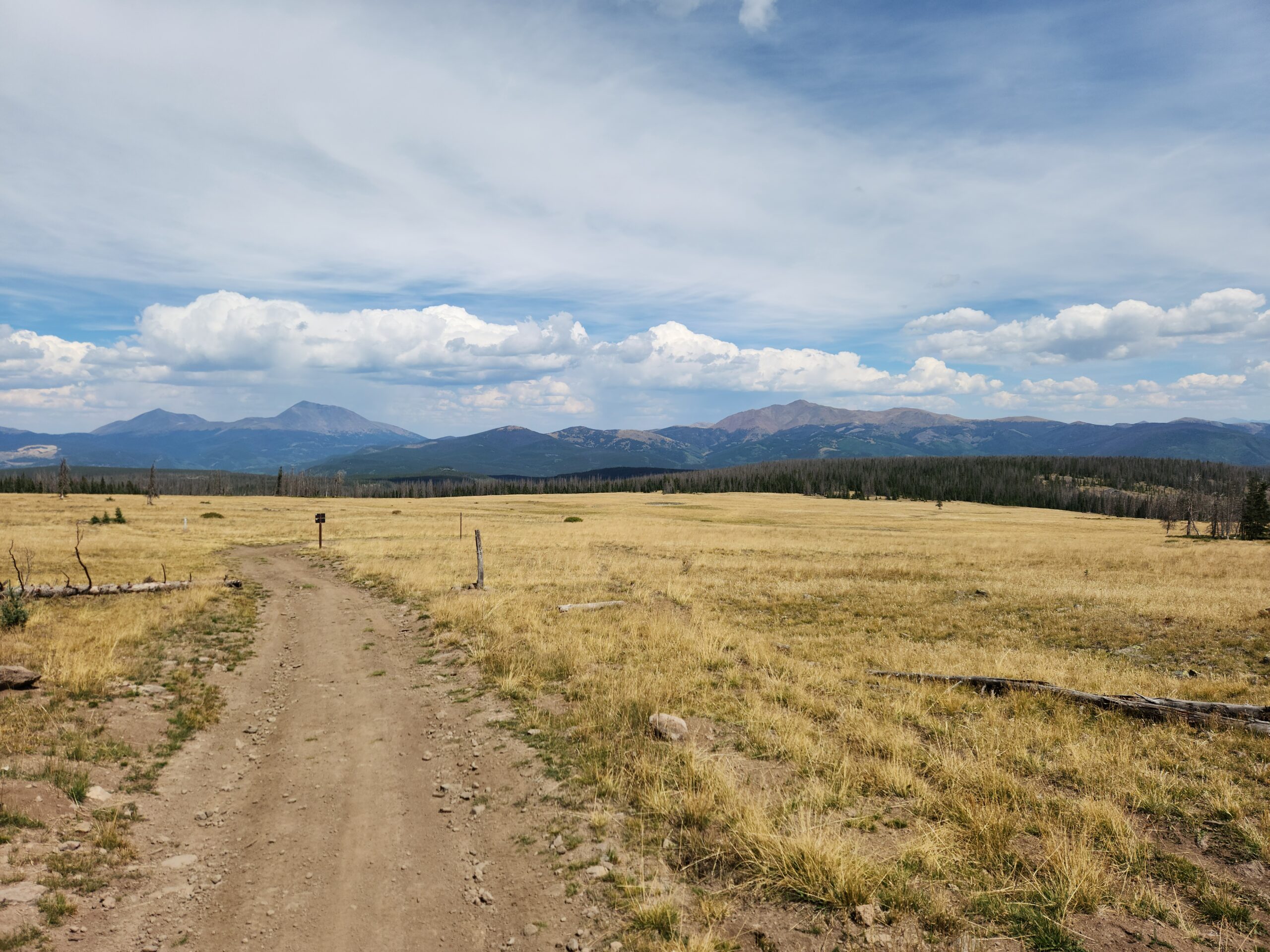
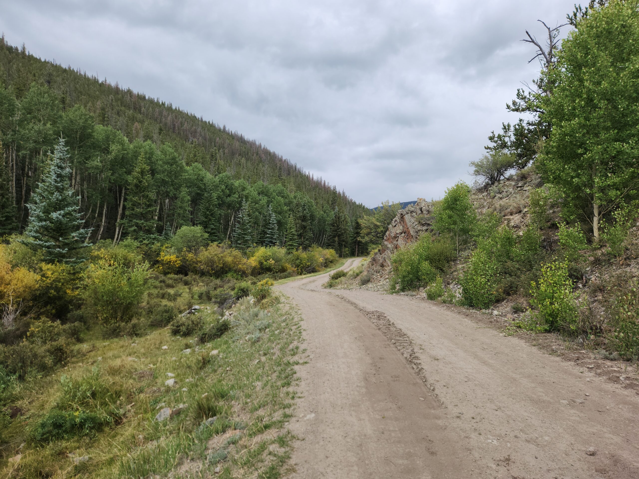
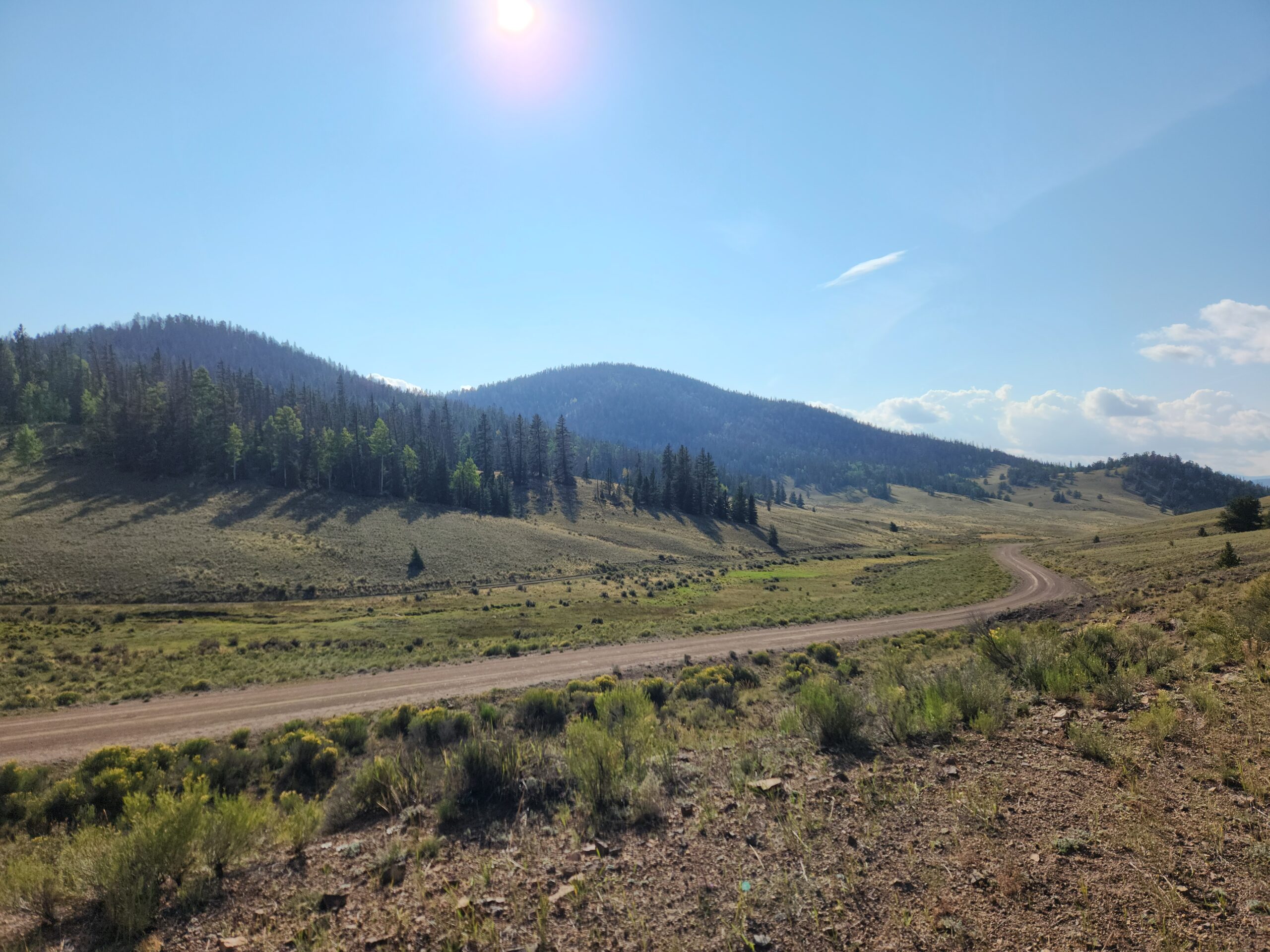
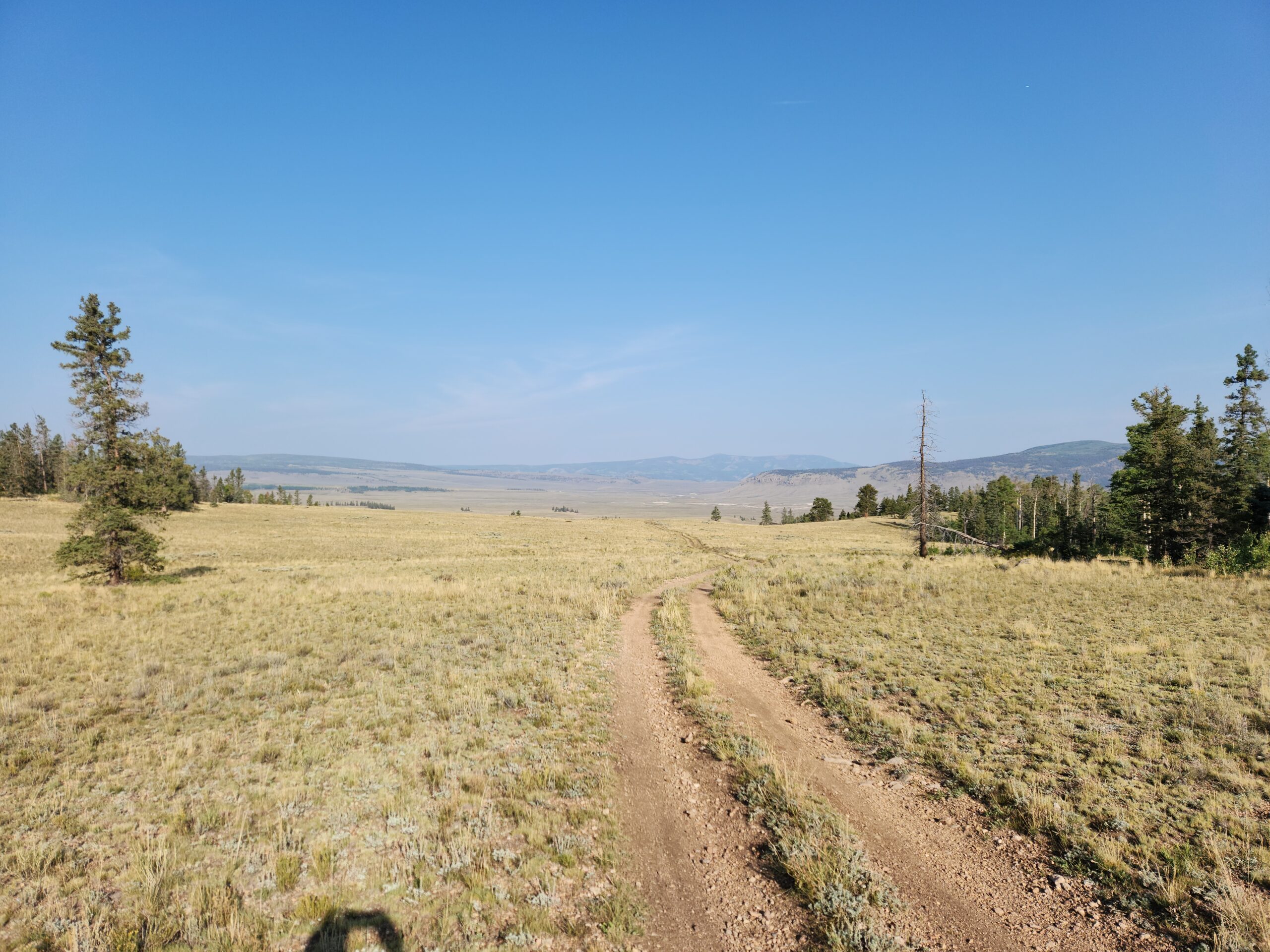
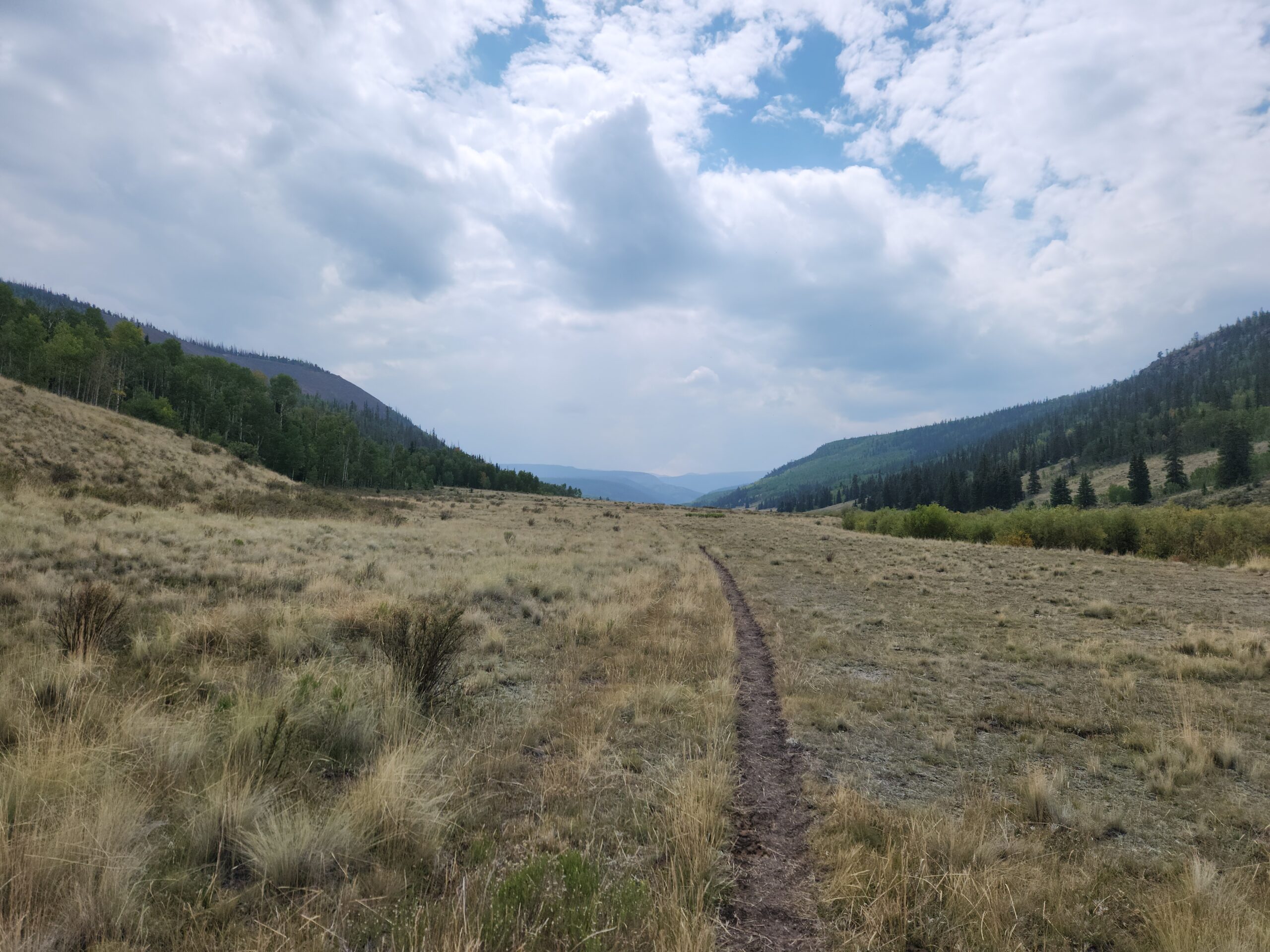
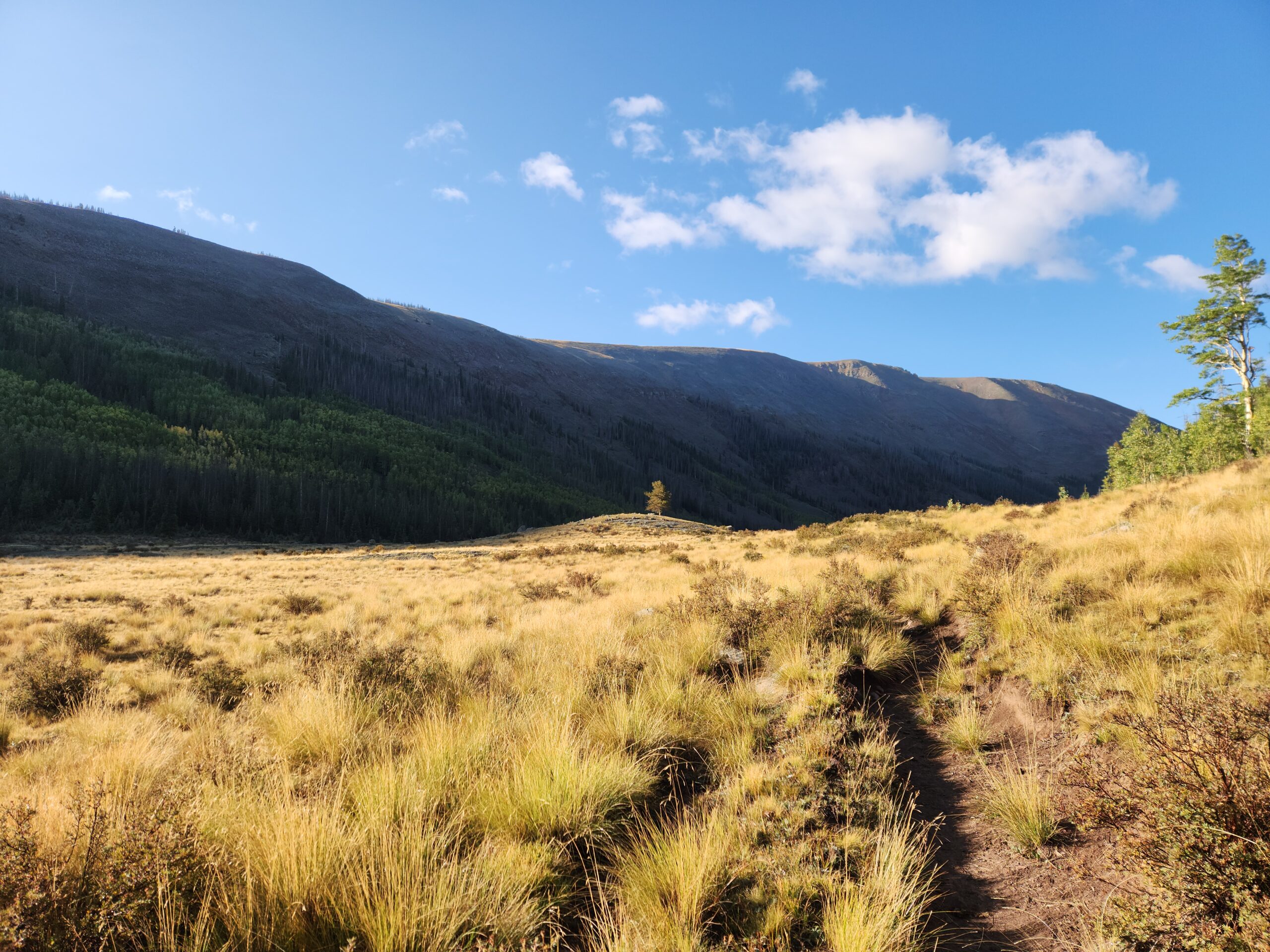
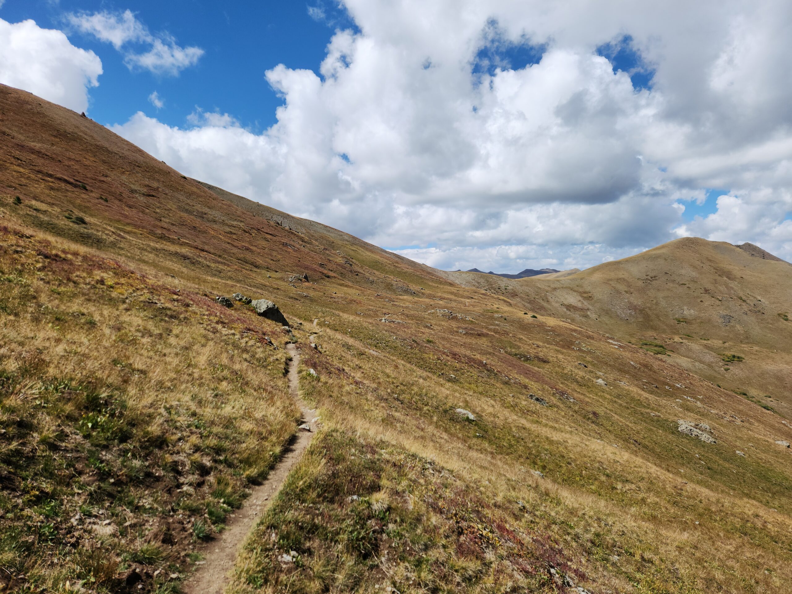
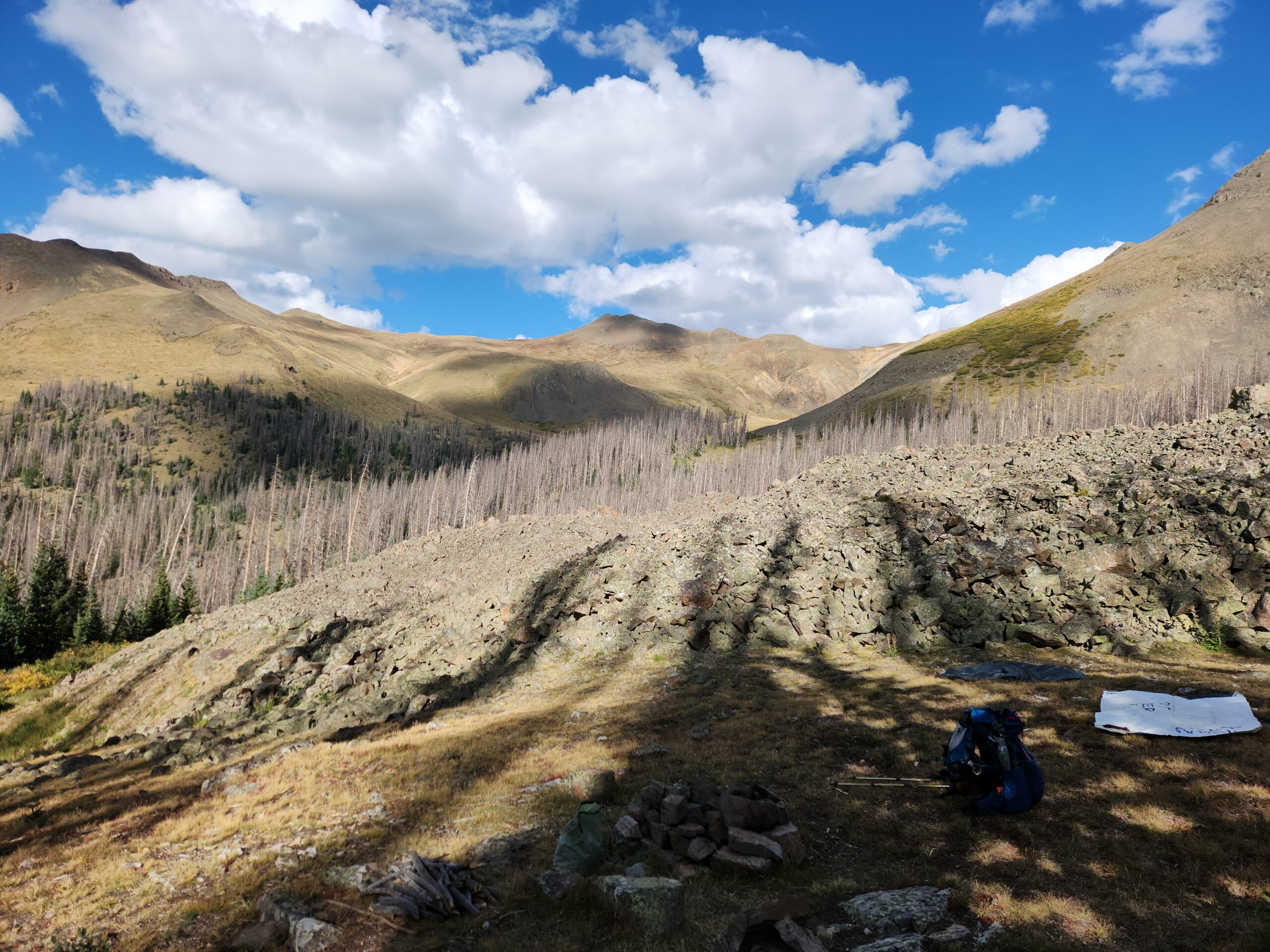
Heavy pack. 12000 feet, and not a lot of air. Feet are sore. Achilles tendons are sore. Met 4 SOBO CT hikers near mile 11, I tried talking to them but I was clearly not cool enough. After Monarch Pass, the CDT goes along some beautiful open ridges for a few miles, then through some very easy, cruisey woods. It then crosses a road, where there were lots of pickup truck RVs hanging around. The trail kind of doubled an old road for a while, so I just did the road. Ate hiker box dehydrated Kale chickpea stew! Maybe 5 well-fed 20 mile days to Lake City?
Day2 – Colorado – 184.5 miles to go
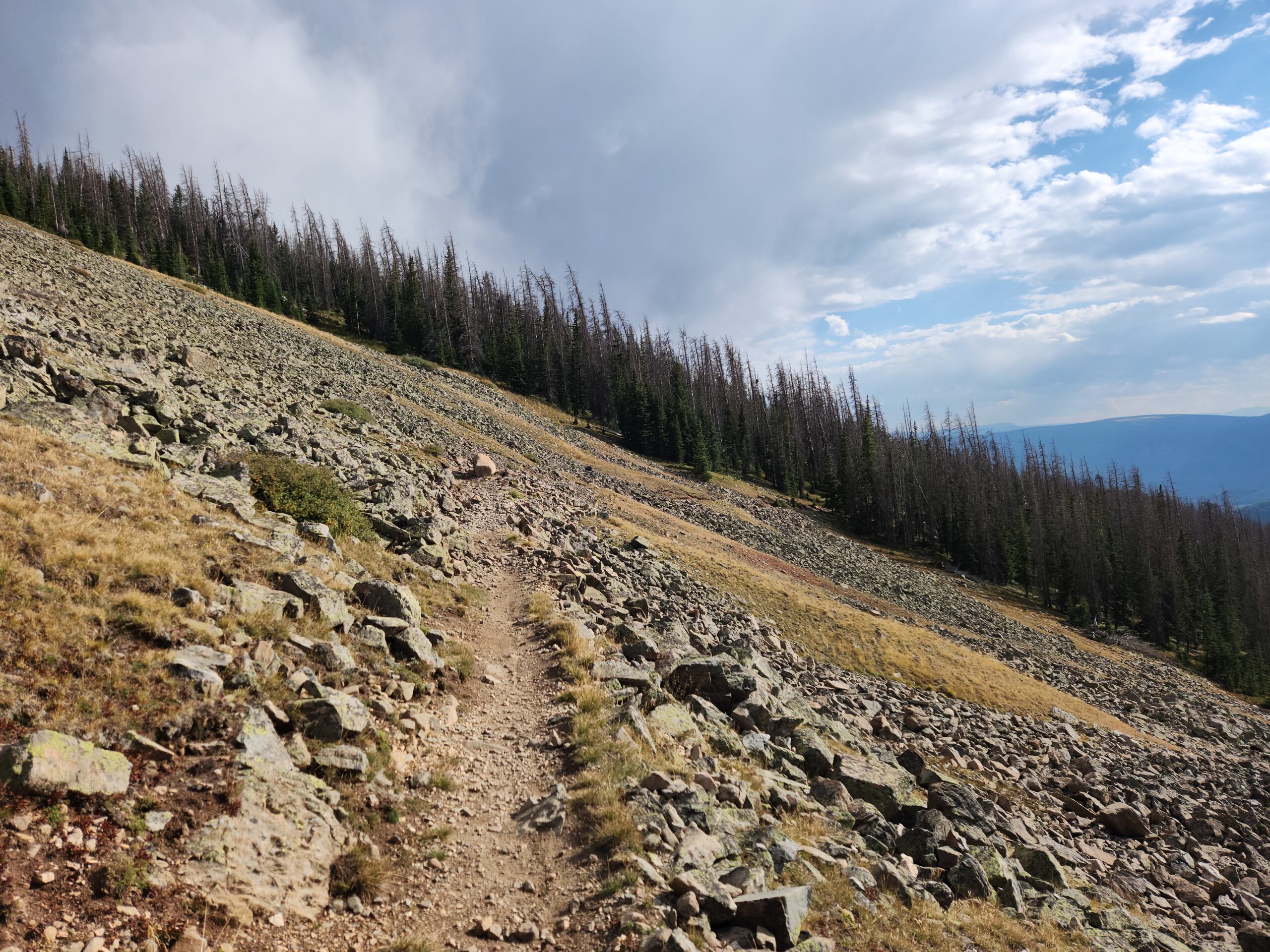
I slept like shit, tossing and turning all night, couldn’t get comfortable. First I blamed the altitude, then the lack of sleep at the hostel(s). Not to put too fine a point on it, but I crapped my brains out when I got up. That awesome burrito might not have been vegetarian. A weasel watched me while I did it, shaming me. The plan for the day was 20 miles, with 3500 feet of up. The trail’s a lot of “mixed use” trail, in rough shape, with many PUDs (Pointless Ups & Downs) along ridges, and in many places a deeply rutted motorcycle trail. I passed 8 CT hikers heading in the same direction as me, all kind of toiling. All friendly though. They’d only had a few hundred miles in from Denver, so their legs are on week 2 or so. It felt good to pass them, but a little cheap.
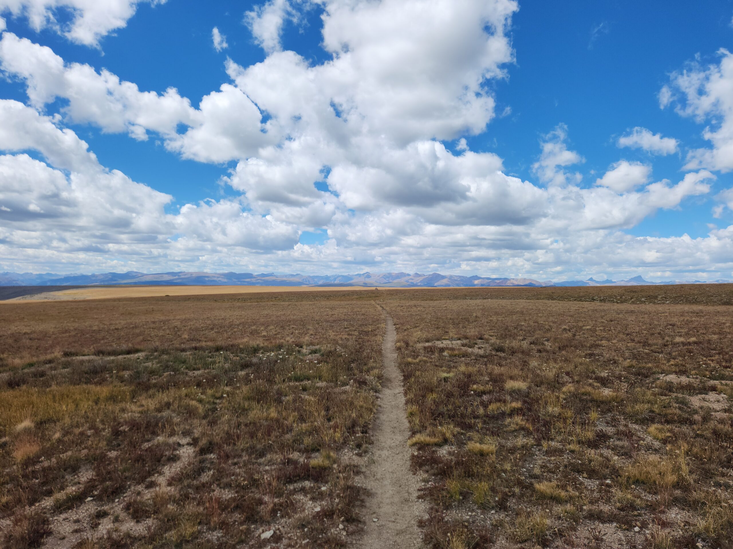
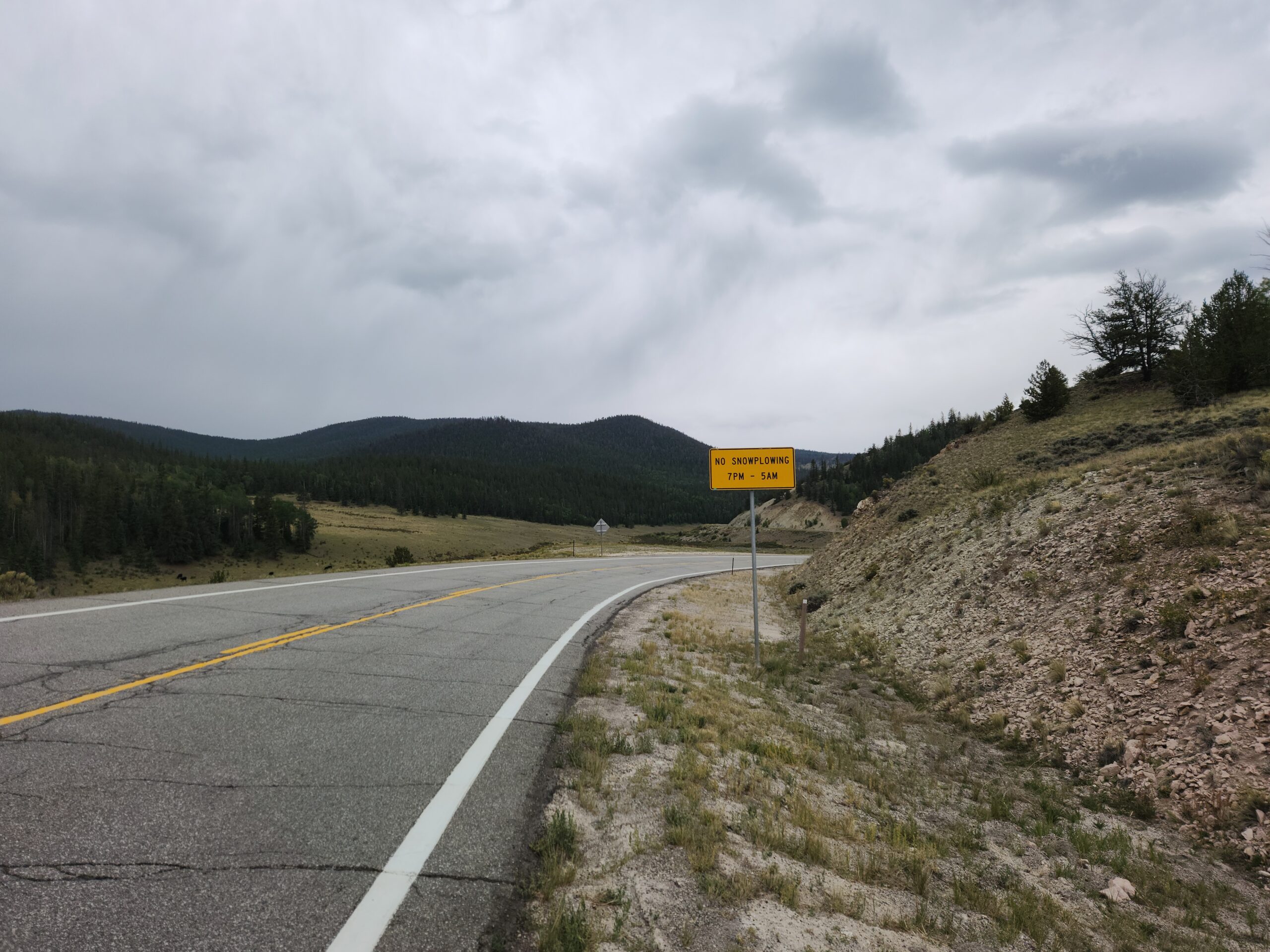
Outside of a few random hikers, the trail really feels empty. Maybe it’s the wide open spaces, and high haze. It’s kind of hot, and end-of-summer last-hurrah sort of feel to the weather. Maybe it’s the random woods roads that have parking areas. It’s like someone built a whole setup for people to recreate, etc, but then nobody came. Lots of roads, even road signs, but no sign of people. You could do some kind of a post-apocalyptic story here. Maybe its more like walking through a closed amusement park. Evidence of fun times, long past. A Ray Bradbury sort of feeling.
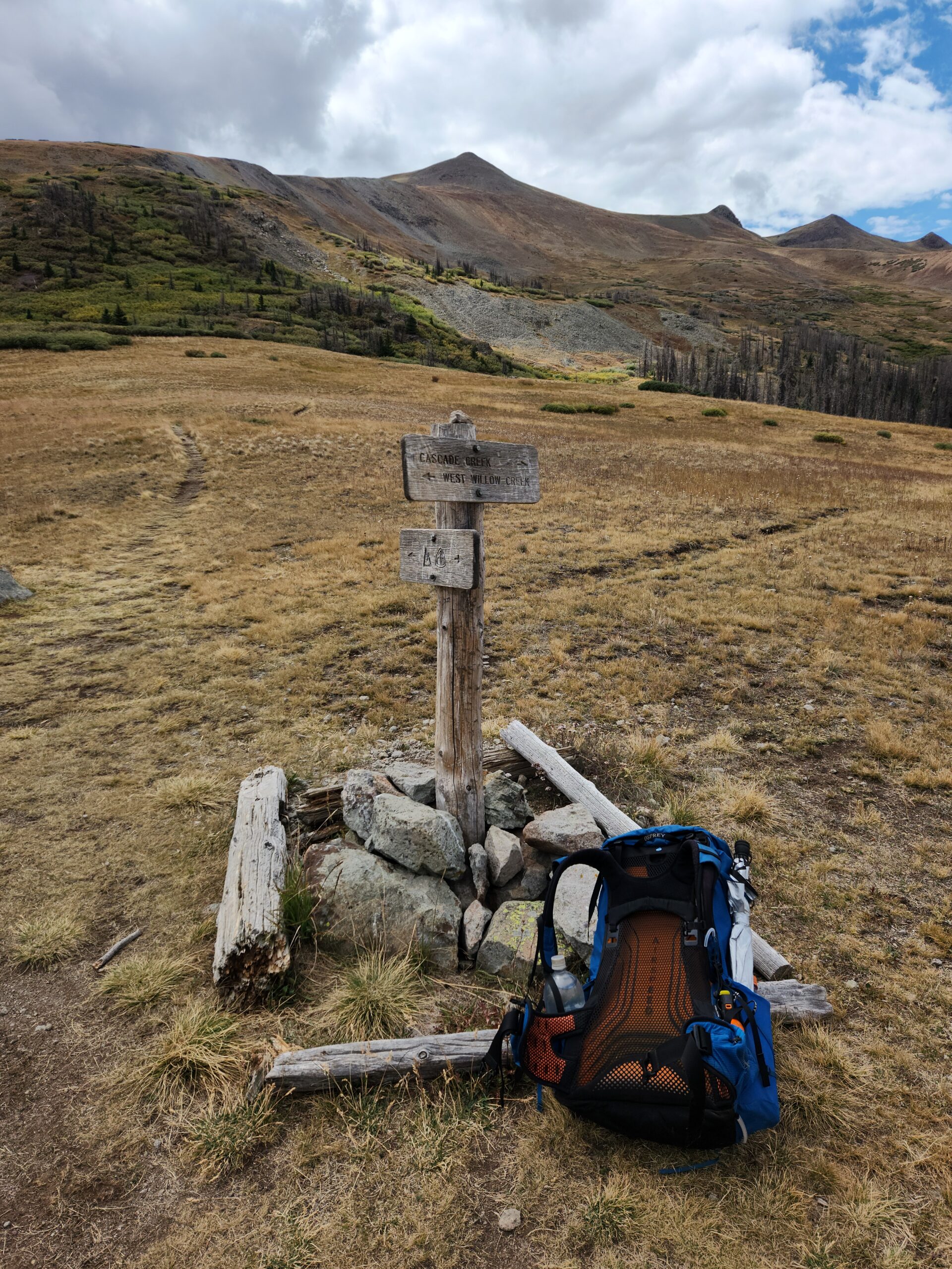
The trail went up into some high stuff, dodging rain and clouds all day. The air felt like it was all smoke, but it was my increasing congestion and crappy feeling. I took Tylenol and powered on. The last 5 miles were on total autopilot and muscle memory. I felt like garbage, dizzy, hot, short of breath, arriving at a trail junction to a lake at about supper time. I had to hike down half a mile and 300 feet to get water. Even without a pack it was hard; rough footbed, and just NO strength. Shaky leg muscles. I had to sit a few times to catch my breath.
There were some CT hikers camped at the lake, and under normal circumstances I would have stayed to hang out. Mostly older guys, a few greybeards, my kind of people. But I was shivering in my down jacket, and I knew the little bowl with the lake in it was going to be freezing. I said some pleasantries, barely focusing, and headed back up. Pitching my tent was SO hard, like nothing worked right, and I had to think about everything 3 times. I sat down for a minute, maybe fell asleep, maybe blacked out for a minute or two. Something is wrong, and its not the altitude. I mean that doesn’t help, but I was somewhere around 11,500 feet and that’s usually fine, I don’t even feel it. I rationed out another Tylenol, took 2 Advil, and one of those “DM” cough pills that’s supposed to break up stuff in your chest.
Remember when I took the bus from Wyoming and thought, “I should be wearing a mask” ???
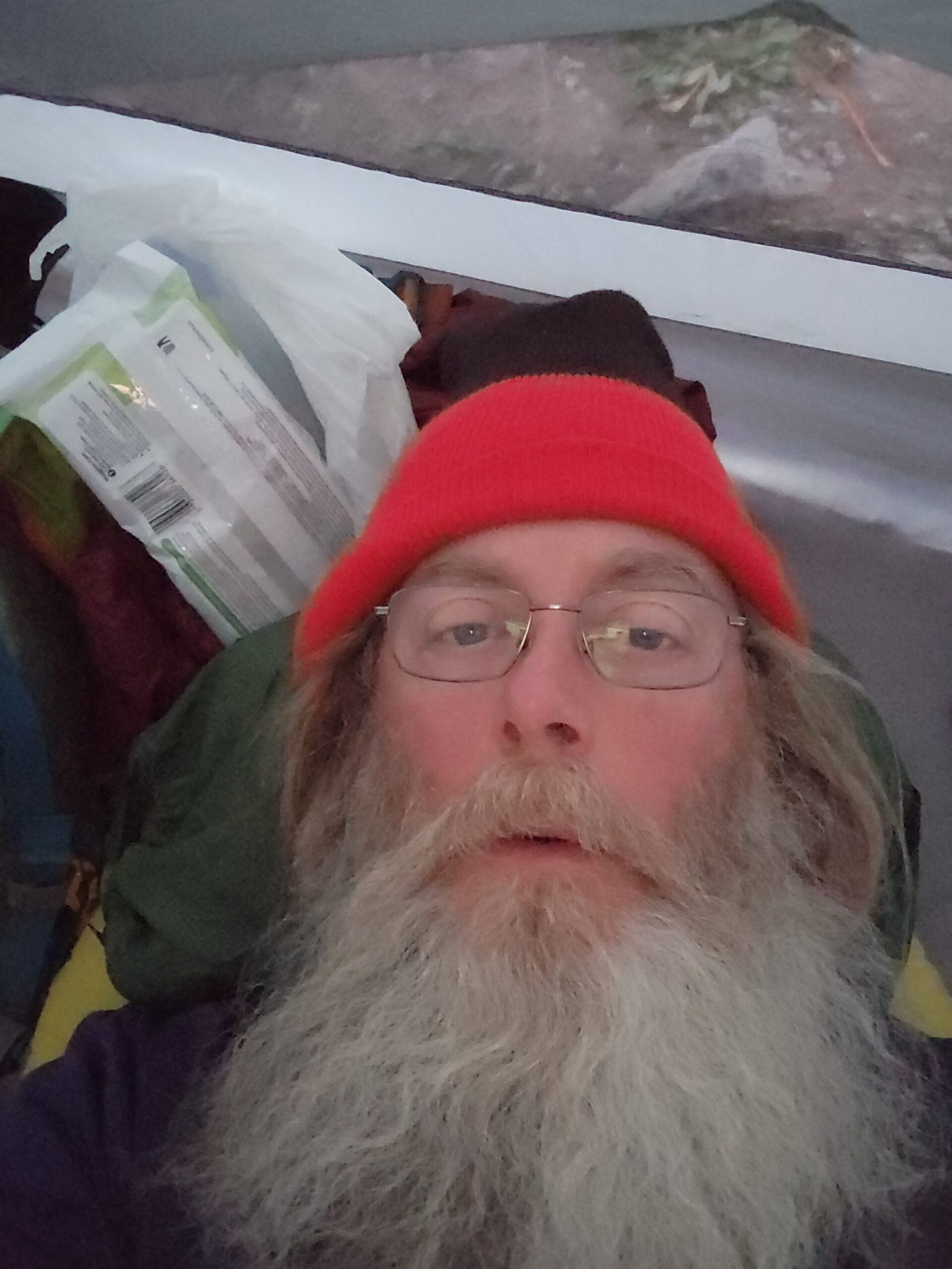
Feel crappy – and I hope not COVID. Fever, sore throat. Tomorrow is 20 miles and 2800 feet. My food bag is really heavy. I got some awesome shelf-stable vegan chinese from home, but it’s super heavy and relatively low calorie. At least I didn’t have to cook it. Laying in my quilt wrapped in everything, listening to the rain hit the tent. Pulse racing.
67.6 miles to Spring Creek Pass. Could be 4 17s thanks to the 20 today. Every mile you do above the needed average miles per day is free time on the last day. You chip away at it, a mile here, a mile there, and it adds up. Doing the math is easy and fun, and kind of a distraction while you hike.
Day3 – Colorado – 163.4 miles to go
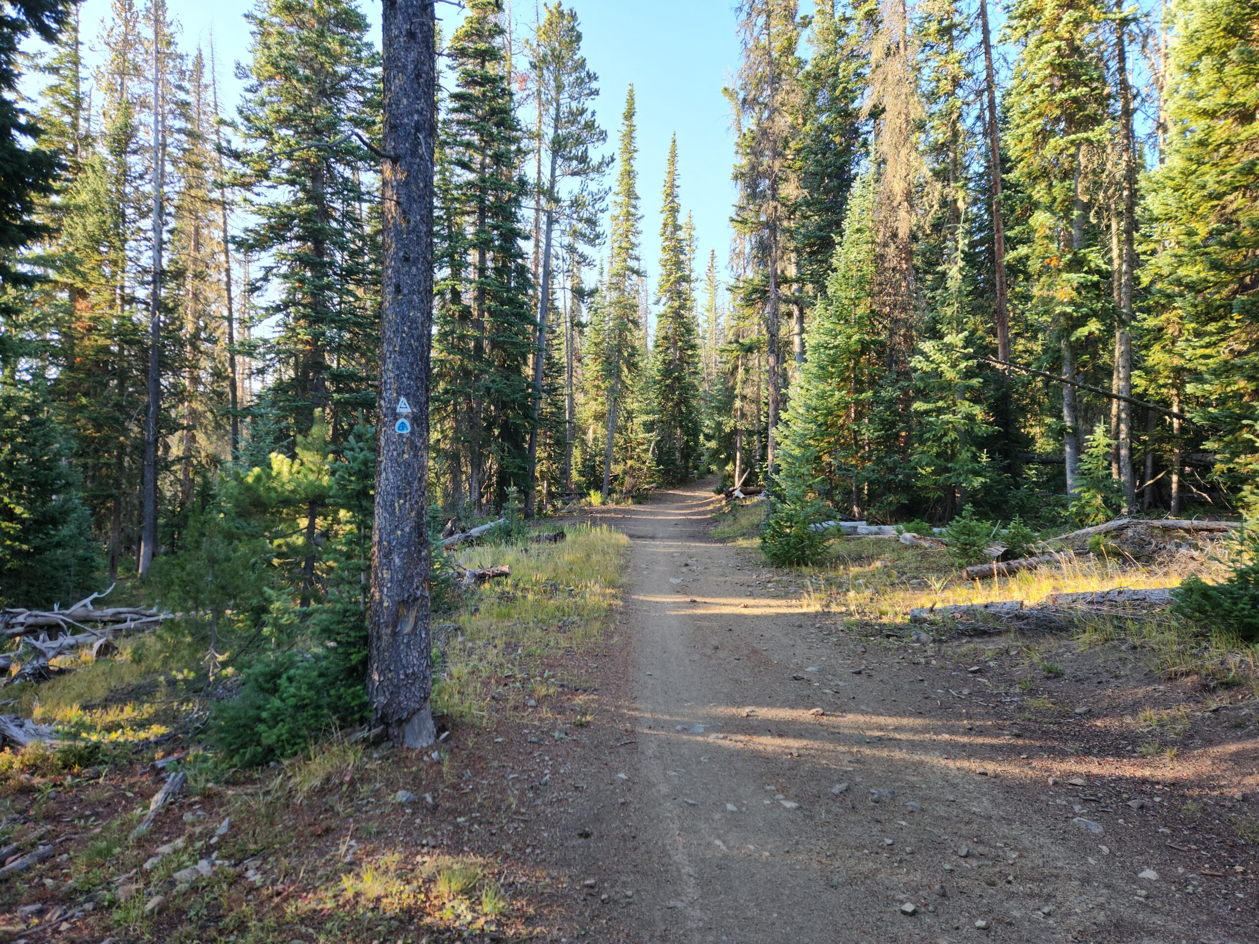
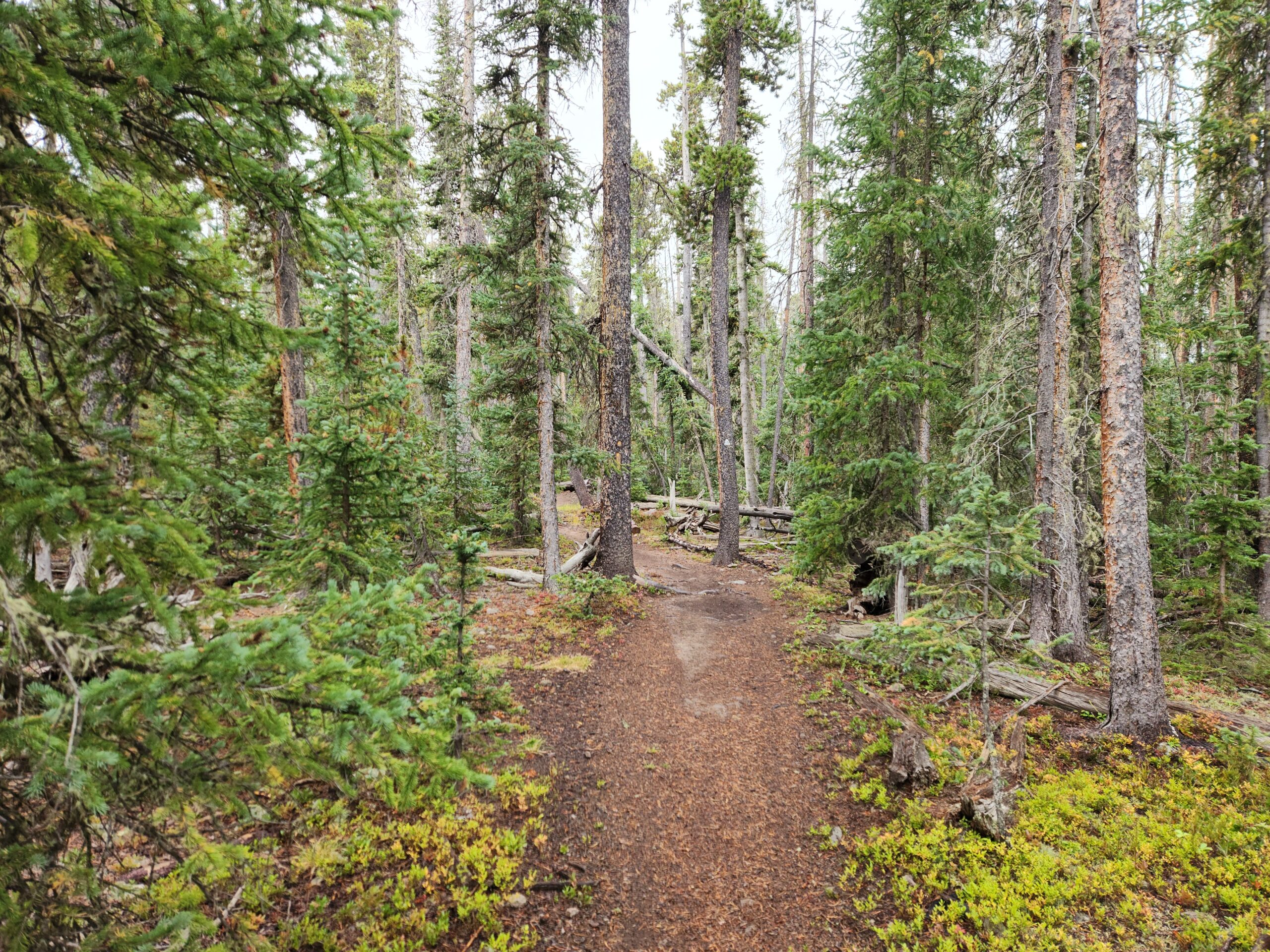
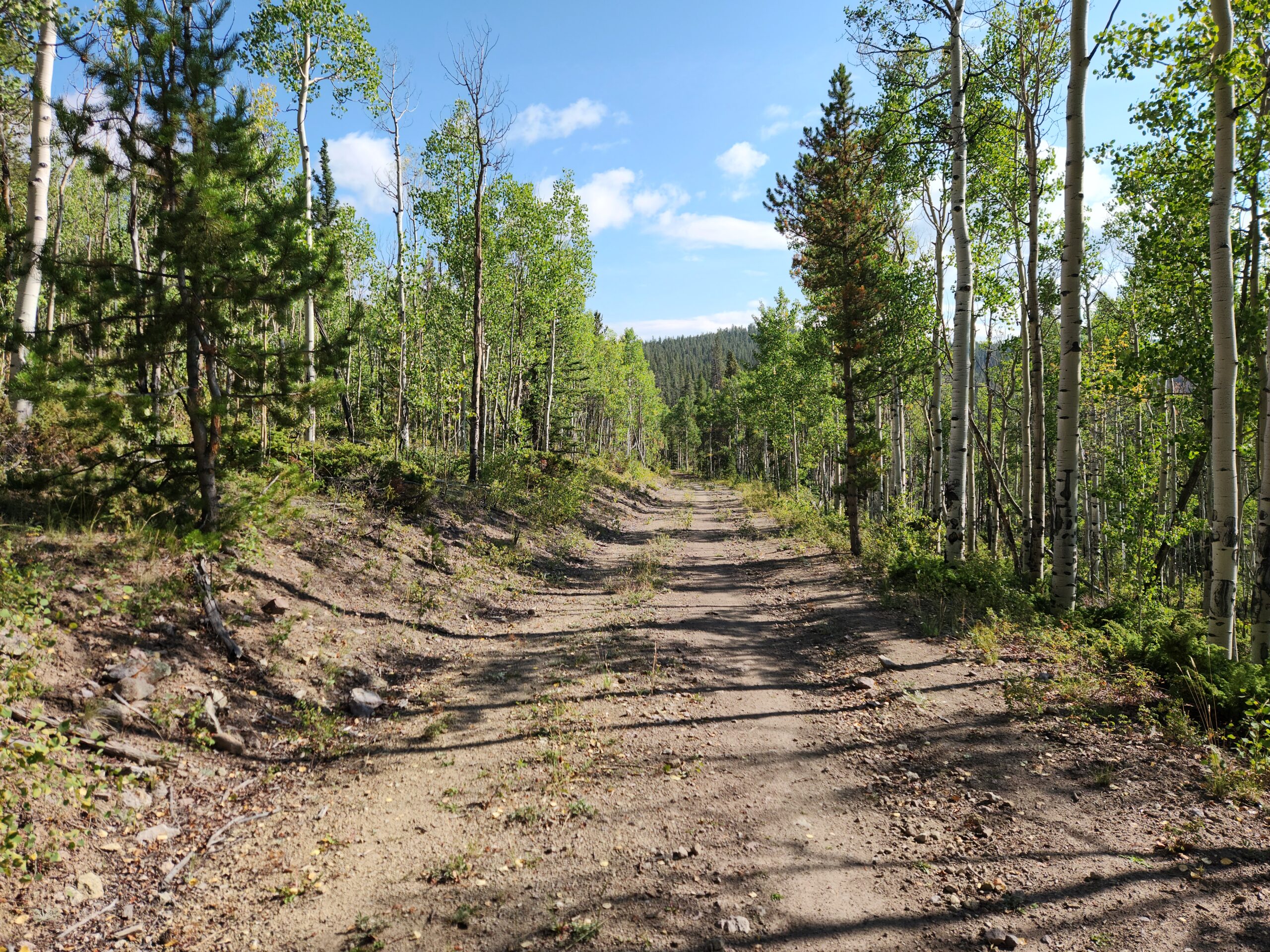
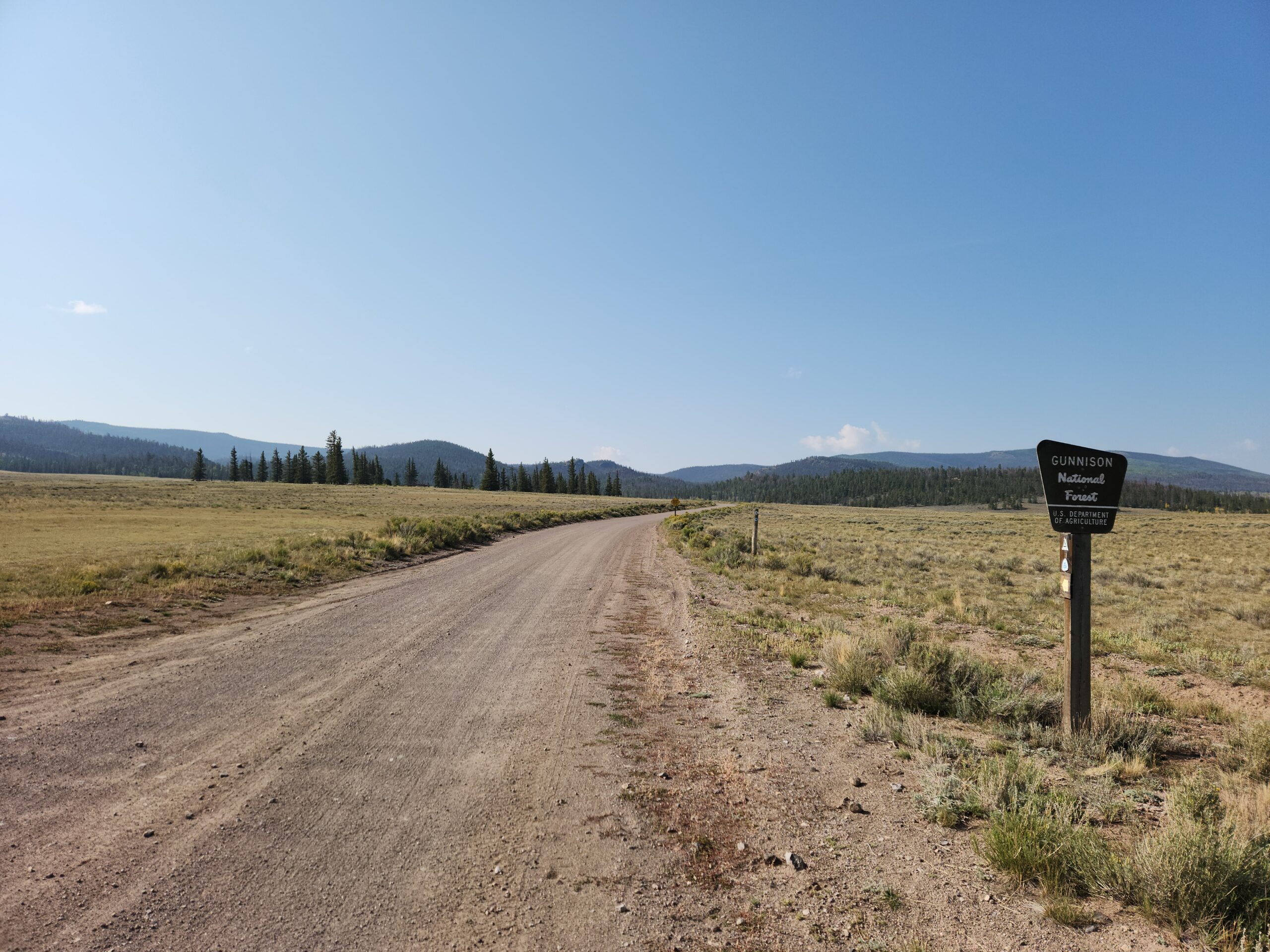
Slept like shit. I dug into my pill bottle and shook out 2 ibuprofen, a Tylenol, and a Sudafed. Running low on all 3. I had a few benadryl and pepto mixed in, but that wasn’t going to be helpful. Juice up on pseudoephedrine, I felt good 80% of the day. Thankfully it was another empty, solo, easy day, a lot of downhill on old roads. Way better than shitty multiple use trail that’s chopped up by bikes and motorcycles. It’s not like walking on a totally smooth surface, but a woods road courtesy of the USFS is better than stumbling along on roots.
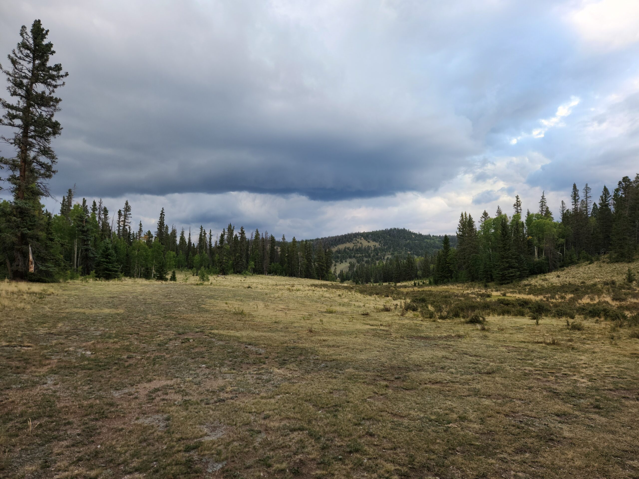
After crossing the empty highway to Gunnison, I could feel my fever coming back on. Need some Tylenol and fuel up in my quilt. Skin all crawly. Freezing all of a sudden. I hope tomorrow is like today; manageable. What I didn’t need was more rain. It rained until 3, I lost track if how many times I put on and took off my raingear. I’m not in the condition where I want to get hypothermia, and you can never tell in the September mountains of Colorado what’s coming. My plan is to do 19 tomorrow, and hopefully there’s water soon, because I’m down down to 3/4 of a liter.
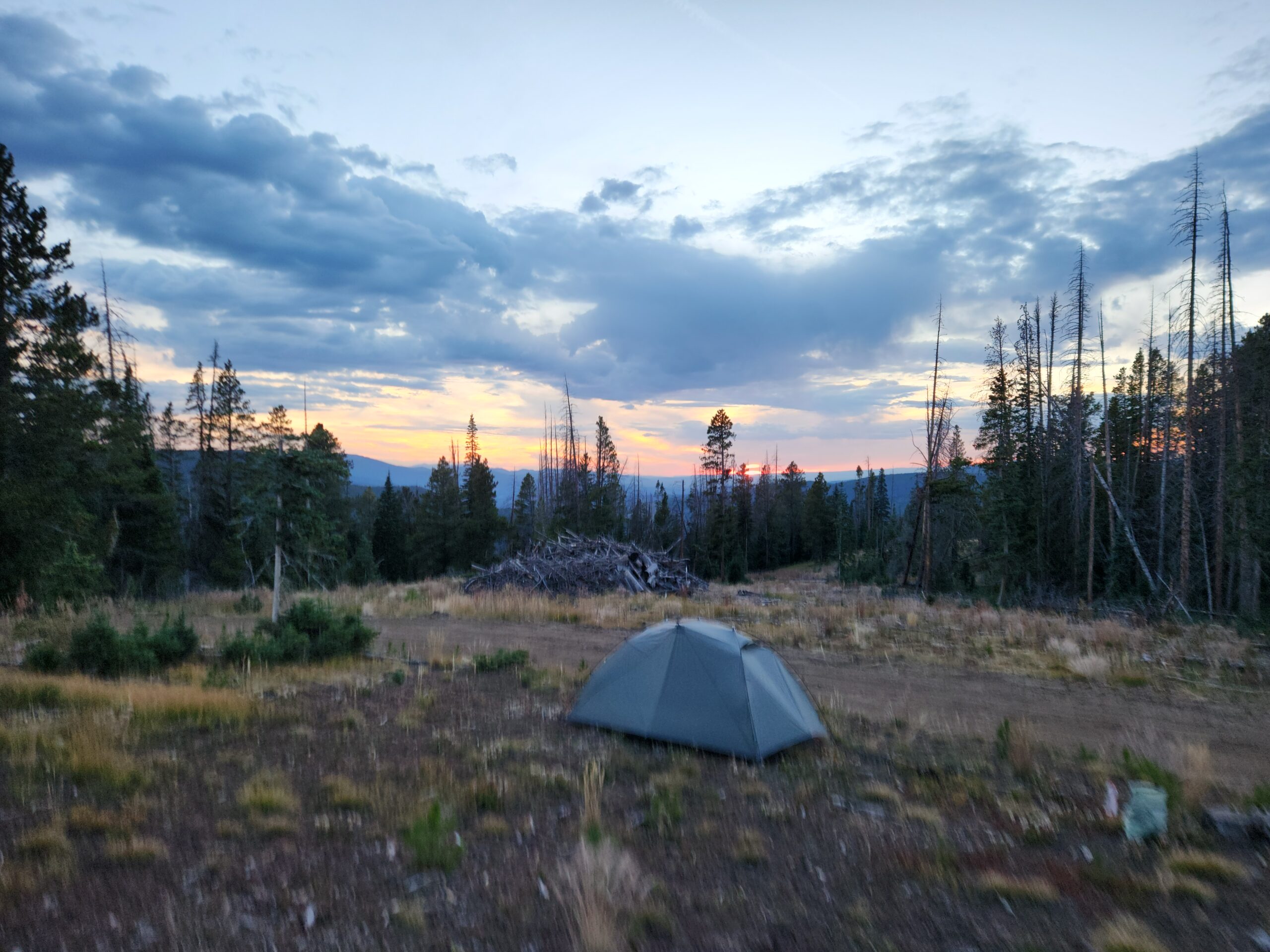
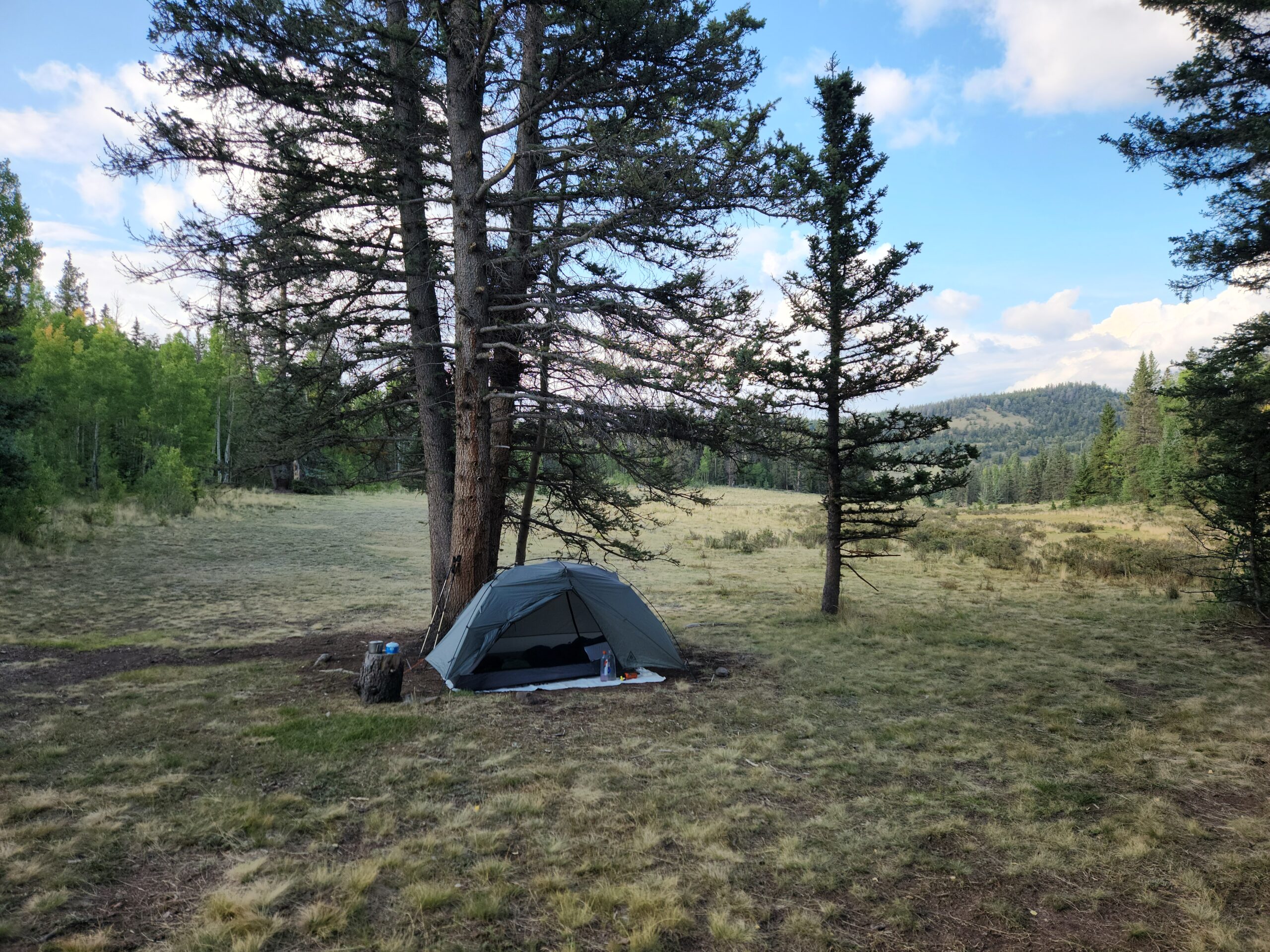
Things cleared up and the sun came back out, baking me. I pitched my tent at a good spot with a fire ring, ATV people had been here. Suddenly, rain was looming and the wind turned really cold. I moved my tent under a big tree, the benefit of a free standing tent vs the tarp people. 2 mins later, I heard the pitter patter of rain on the fly, and I’m in and dry. I am awesome.
Day4 – Eddiesville Trailhead – 144 miles to go
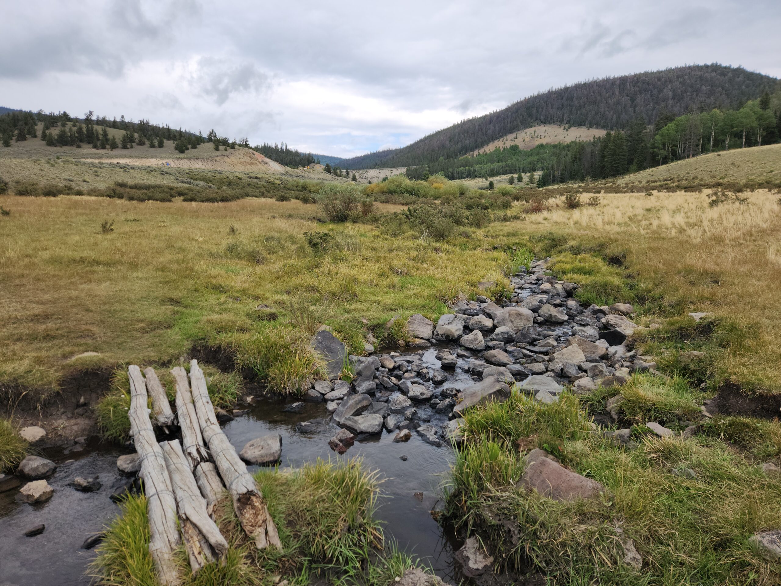
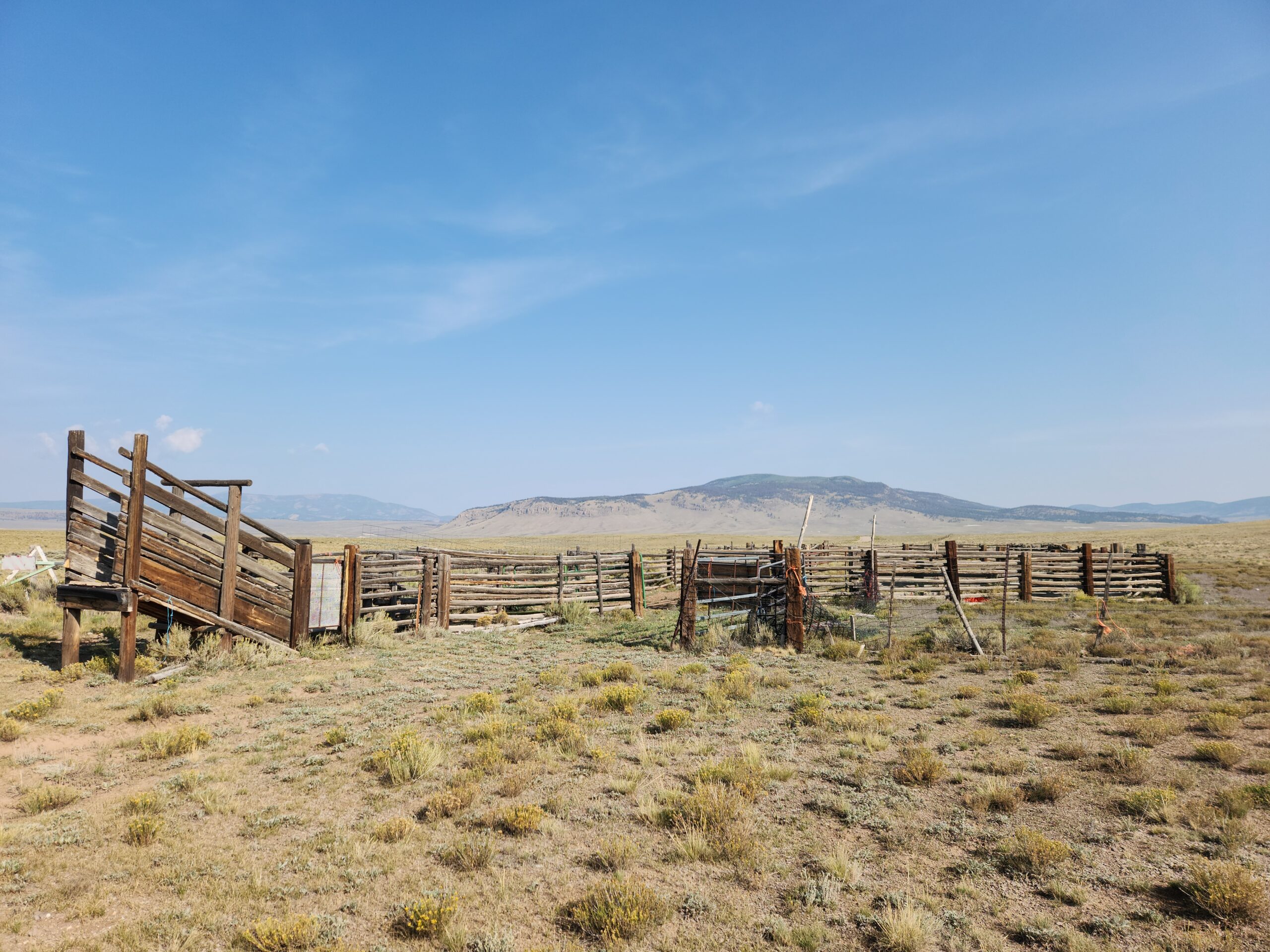
A gorgeous day of easy two track. I saw some 4wd truck people here and there. There’s nothing out here to do except camp and grill and look at the scenery. I walked the road through huge valleys, reminding me of the Wyoming Basin. Just views for miles.
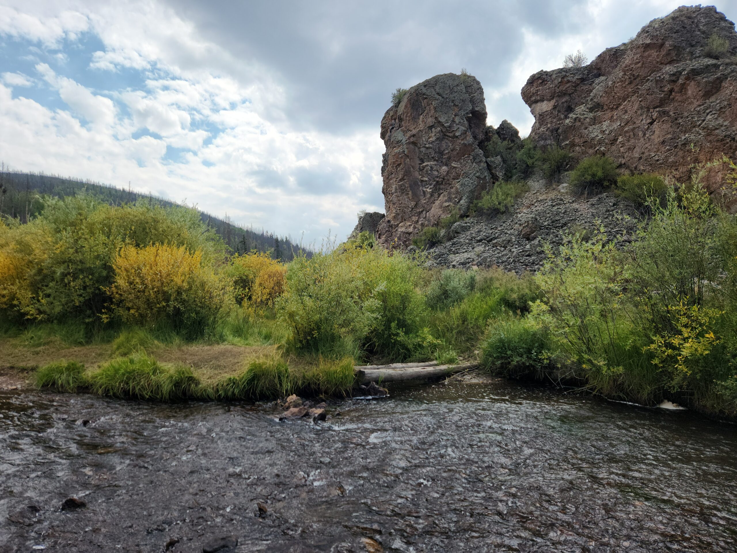
I got to do a big ford, I think the last one of the CDT, at Cochatapi Creek. Up over the knees, and the water was not warm. Bittersweet.
The rain started coming in again. I didn’t do 20, and I can’t do more. I’m coughing constantly at this point, and no longer telling myself “this probably isn’t COVID”. It’s hard going uphill, just putting 1 foot in front of the other. I’ll pass 12k again tomorrow, soneed rest. My lungs on fire, but only if I breathe. The fever is back, mostly tamed by Tylenol and Ibuprofen.
In spite of that, it was a beautiful day.
At the trailhead, there’s a proper toilet. I got the tent set up in parking lot half under a tree JUST as it started raining. A steady drizzle. One of the features of my tent is that the inner clips to the poles, so you can actually pitch the fly, then climb in under it and set up the mesh inner. I didn’t need it for the bugs; I needed it for the heat retention. I think you’re about 5-10 degrees warmer inside a tent. The downside is condensation; when it’s freezing or 35 degrees F outside, your breath soaks the inside of the fly. Being basically in a river valley, the outside gets soaked too from condensation as the cold air pours down from the mountains at night.
2 SOBOs rolled in, and talked to someone also tenting here. I had talked to her briefly through her tent, she’s also on the Colorado Trail, going south. Never got her name. They pushed on. So I caught 1, passed by 2.
Cold supper? Short water again. Lunch for dinner basically. There’s water nearby but a) I feel like complete garbage, b) I’m in my tent, completely dry, and c) I have cold food to eat, so why dress up, go get wet and cold, just to get water I can get tomorrow?
My cookies from home are completely pulverized. I had already fished out the last bits containing any chocolate chips. It’s just sweet dust now – but that’s great, you dip your spoon in your peanut butter to get it sticky, then stick that into the dust. Then you eat the thing like a lolipop.
The rain eventually passed, as it always does. A real hiker would have suited up and endured it, maybe hiding in the privy. There’s another 90 minutes until sunset, that would be at least 3 miles right there. But not this guy. 19.4 is enough for me. I need to sleep somehow.
Tomorrow is only 15 miles, but 4k up, and I’ll top out at around 12,900 feet. With these lungs I’ll be like a snail. If I go very slow, I’m fine. if I push it, I start coughing. And by push I mean if I dont stop between steps. COVID sucks.
Tomorrow will be on trail sick day number 4. I’m now out of Emergen-C drink and out of Triple Defense drink mix. All I have left is some zero-calorie lemon-lime stuff. I figure I’ll be sick into and at Lake City for a few days. I still have Tylenol at least.
Day5 – 128.7 miles to go in the land of 12,000 footers
Remember what I said about condensation? Ice on the tent this morning, again. Try folding up a semi-frozen, semi-wet tent fly without getting numb fingers and soaked. Try it, I dare you.
Also try sleeping outdoors when the temperature is below freezing and you’ve got a raging case of COVID.
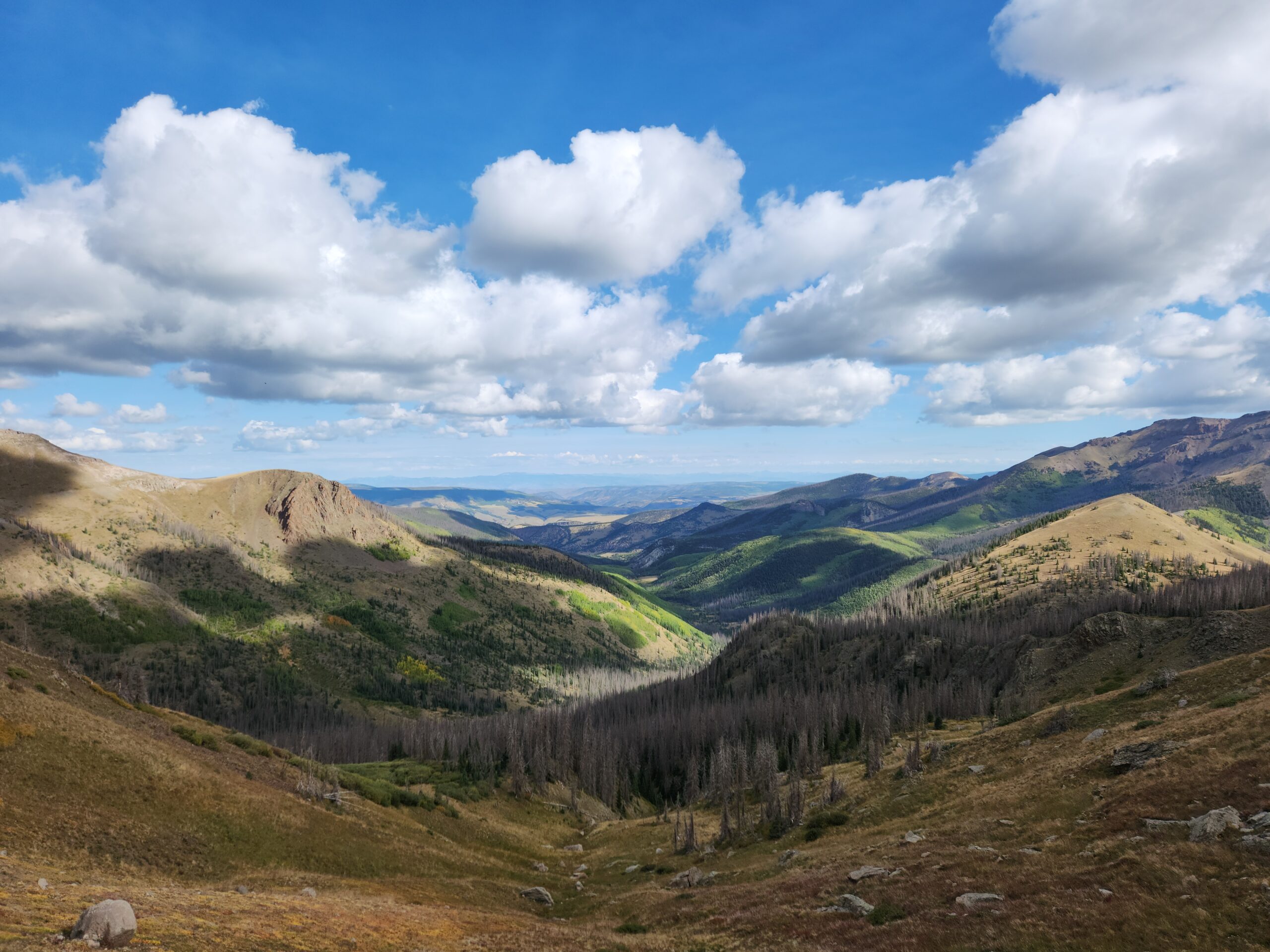
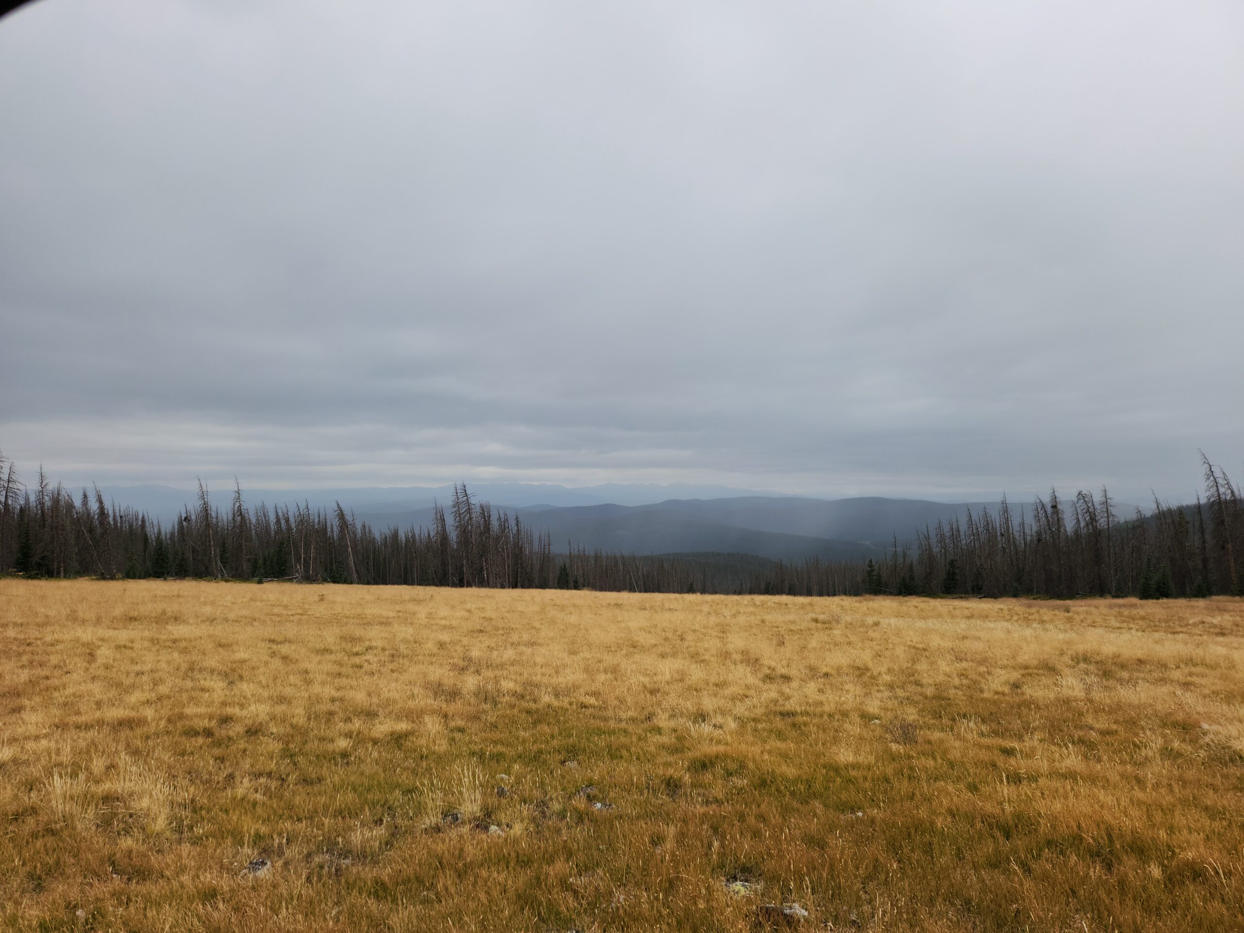
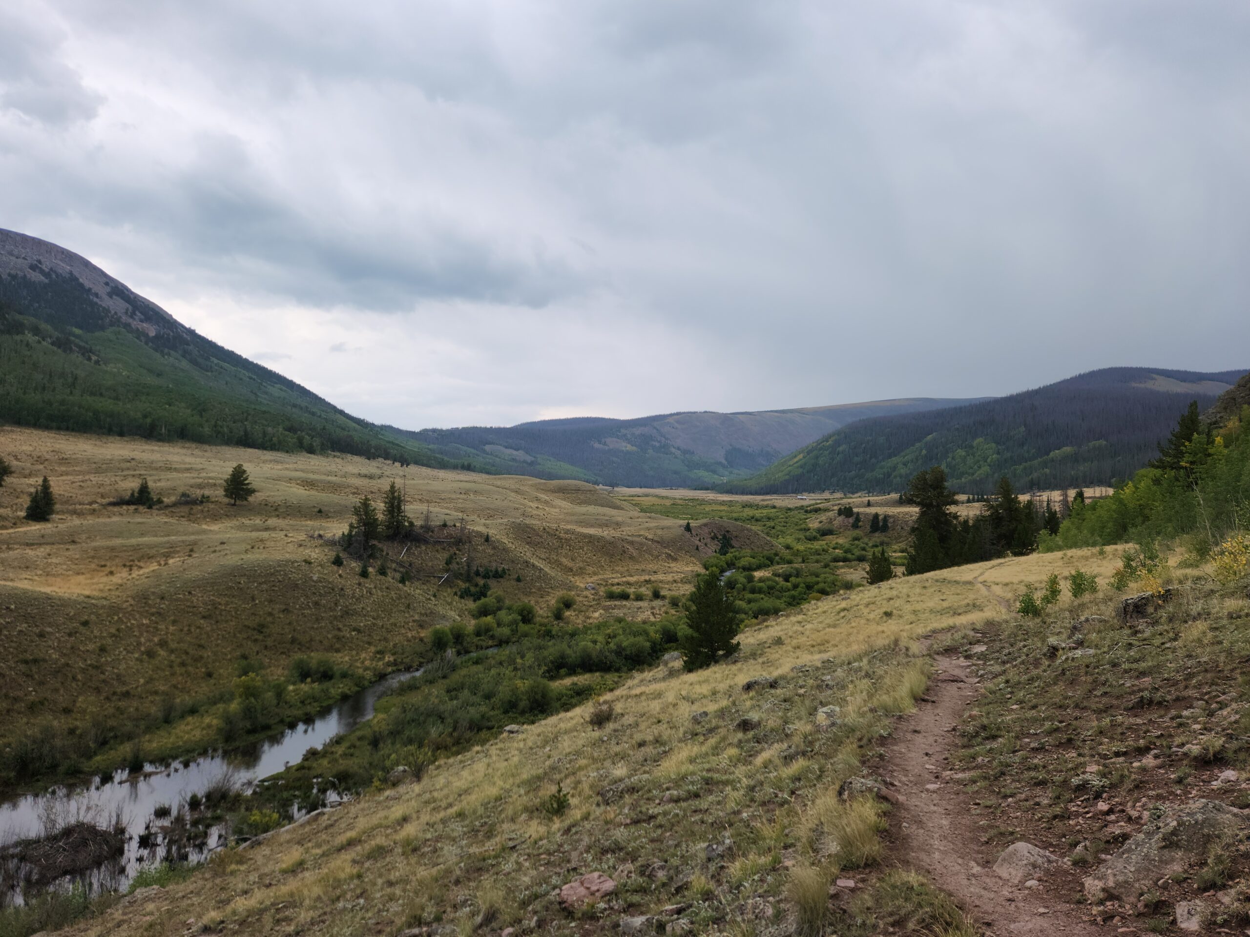
I ended up only doing 15.7 miles, completely cooked. But, bonus, amazing views from this campsite. Can see way up high the trail sign marking the height of land, 1000 feet up. The whole thing isn’t a race, you need to stop and remember to have fun. Assuming you have the food and water. There’s no points for racing to town and arriving with food in your pack, that’s actually a fail.
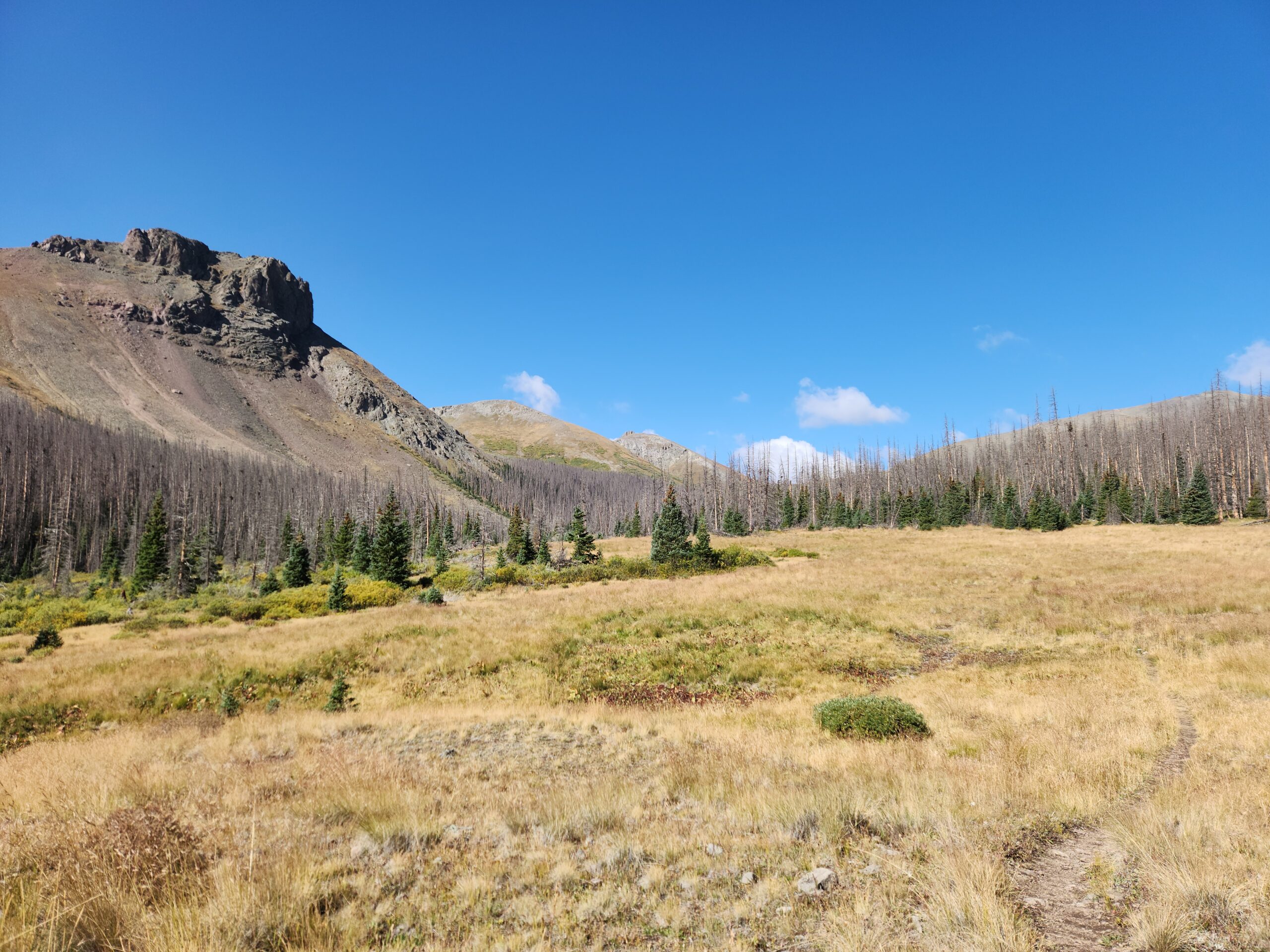
All along the river valley this morning, gradually climbing into high rocky stuff, complete pika. Saw a marmot, which I hadn’t seen since Glacier.
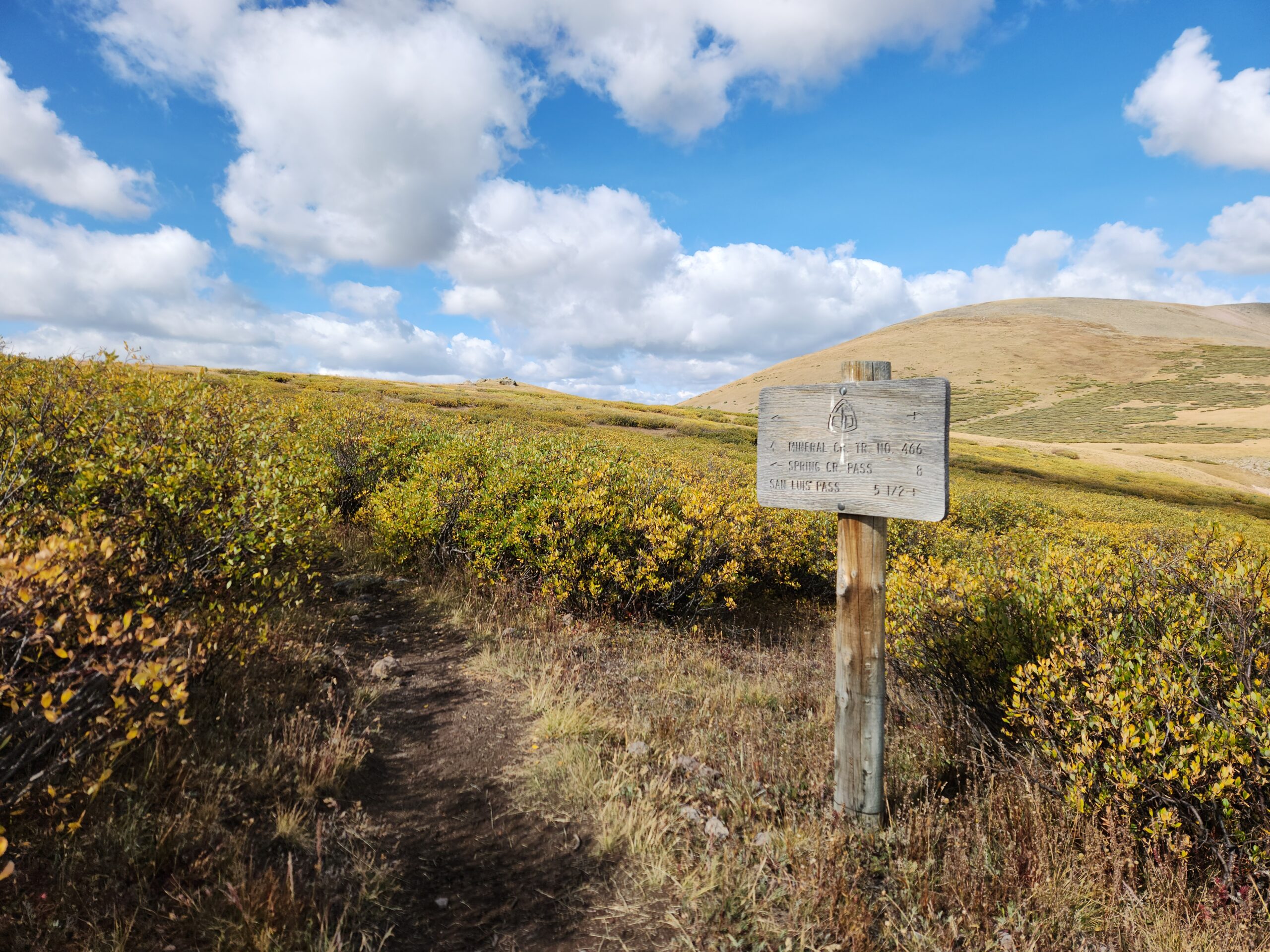
Ran into Care Bear! Of course she caught me. She’s off to Lake City in the AM. I’ll be there much later. It’s 11.6 miles, with another pop over 12k. My plan is to be on trail by 730, and at the road by 230 pm.
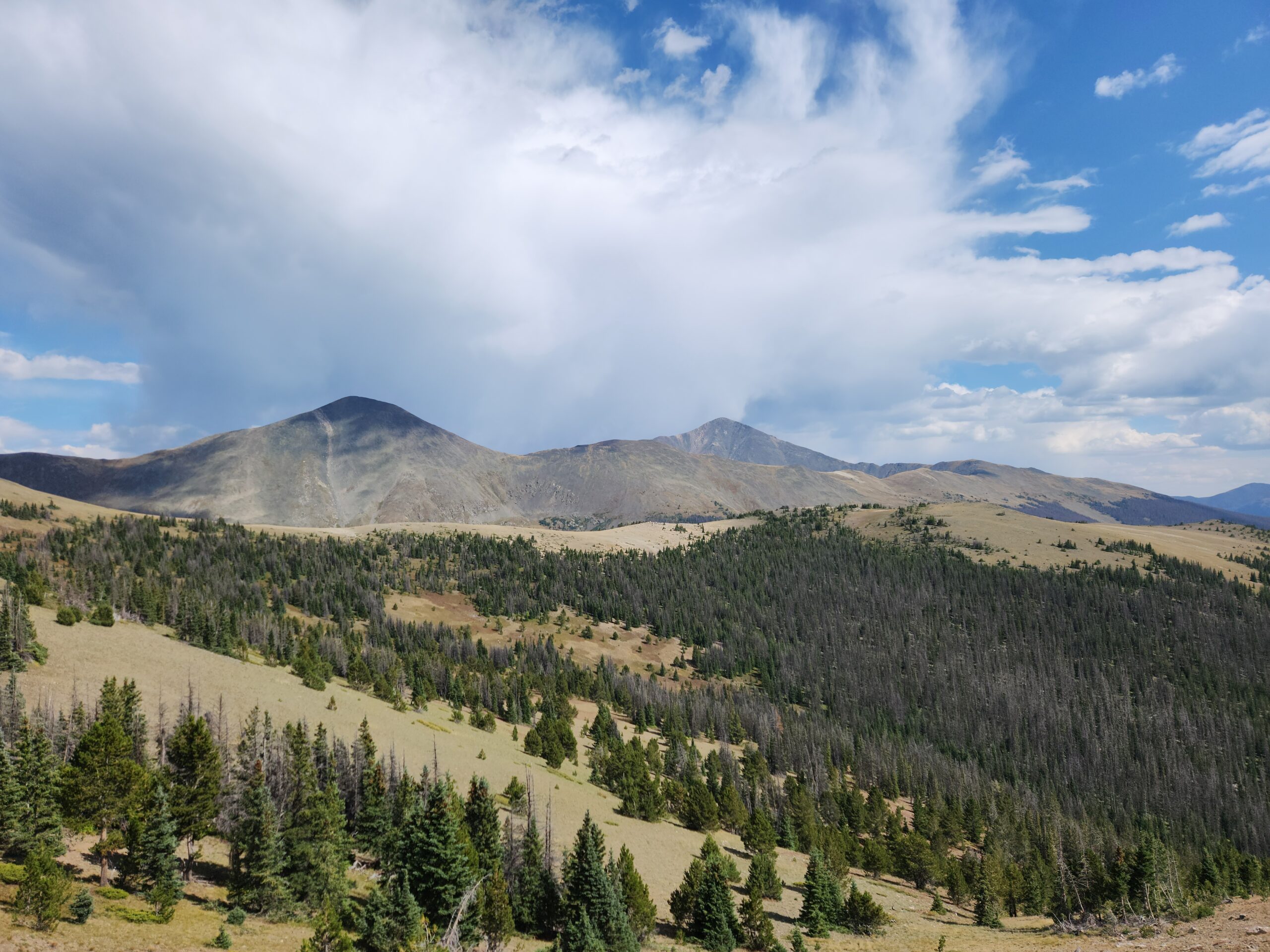
Today was brutal climbs, steep stuff like in the White Mountains of NH, going up 1k feet/mile, but amazing views, all of the San Juan’s. I’m down to about 1mph uphill, can’t breathe or I cough, and its like breathing broken glass. I met a stoner CT hiker at the pass to Creede who said the town is cool. I really want to check it out when I’m done. That’s part of the plan on this trip too, do a little road trip/sightseeing/trail magic.
It never rained today, but it’s been cool/cold. Or it’s my fever. When the sun is in behind the afternoon clouds that always appear, the wind is cold.
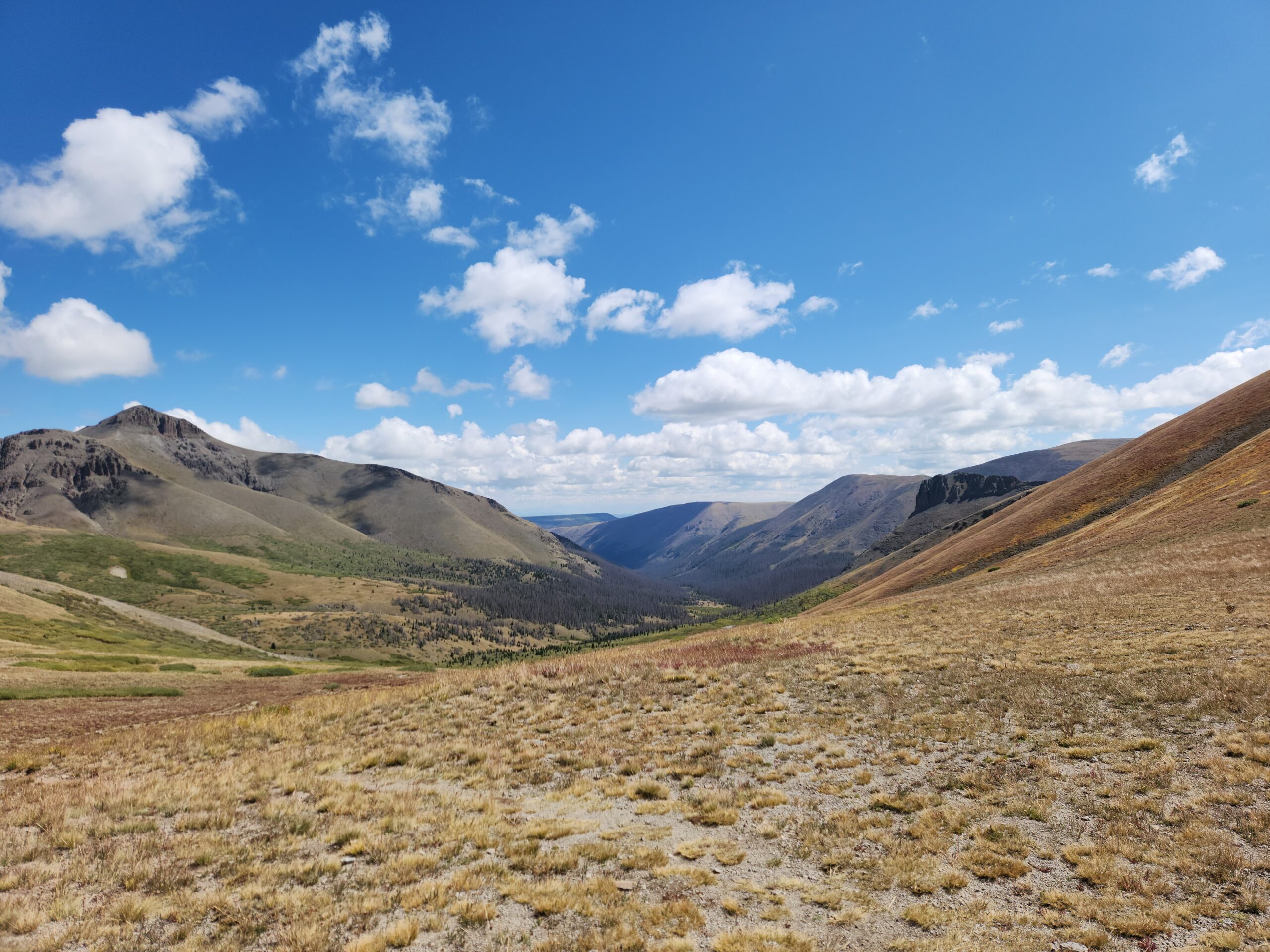
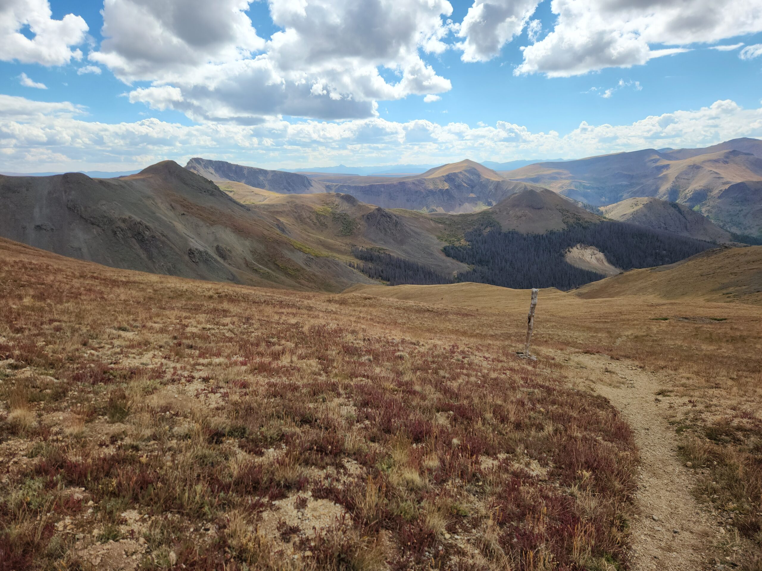
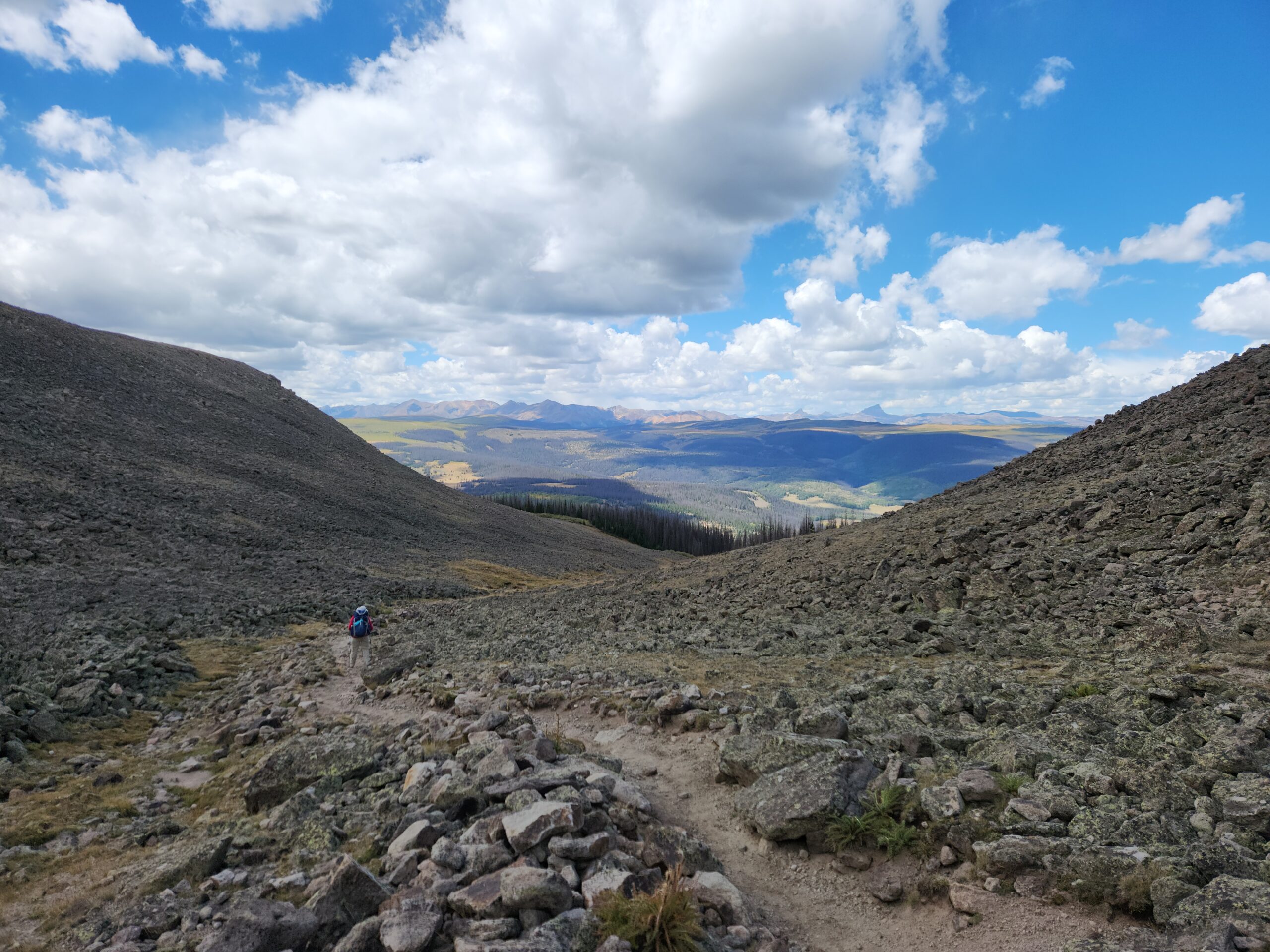
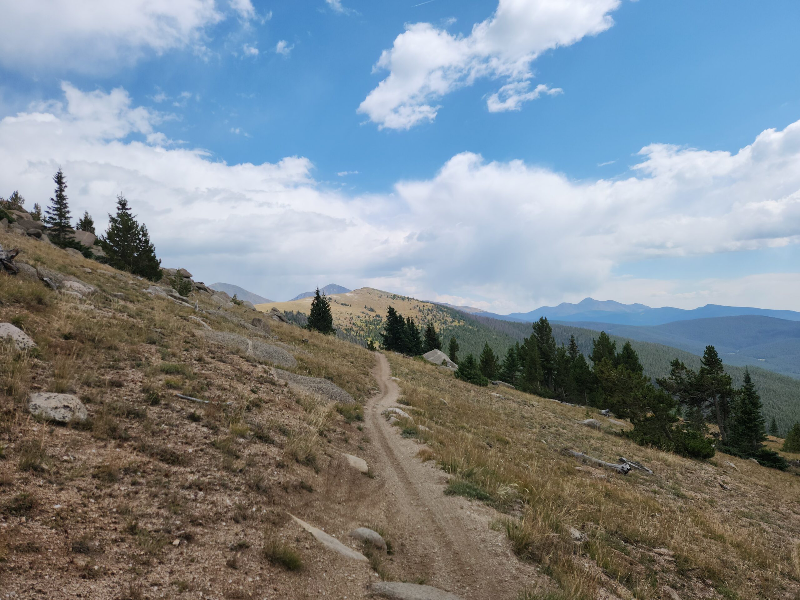
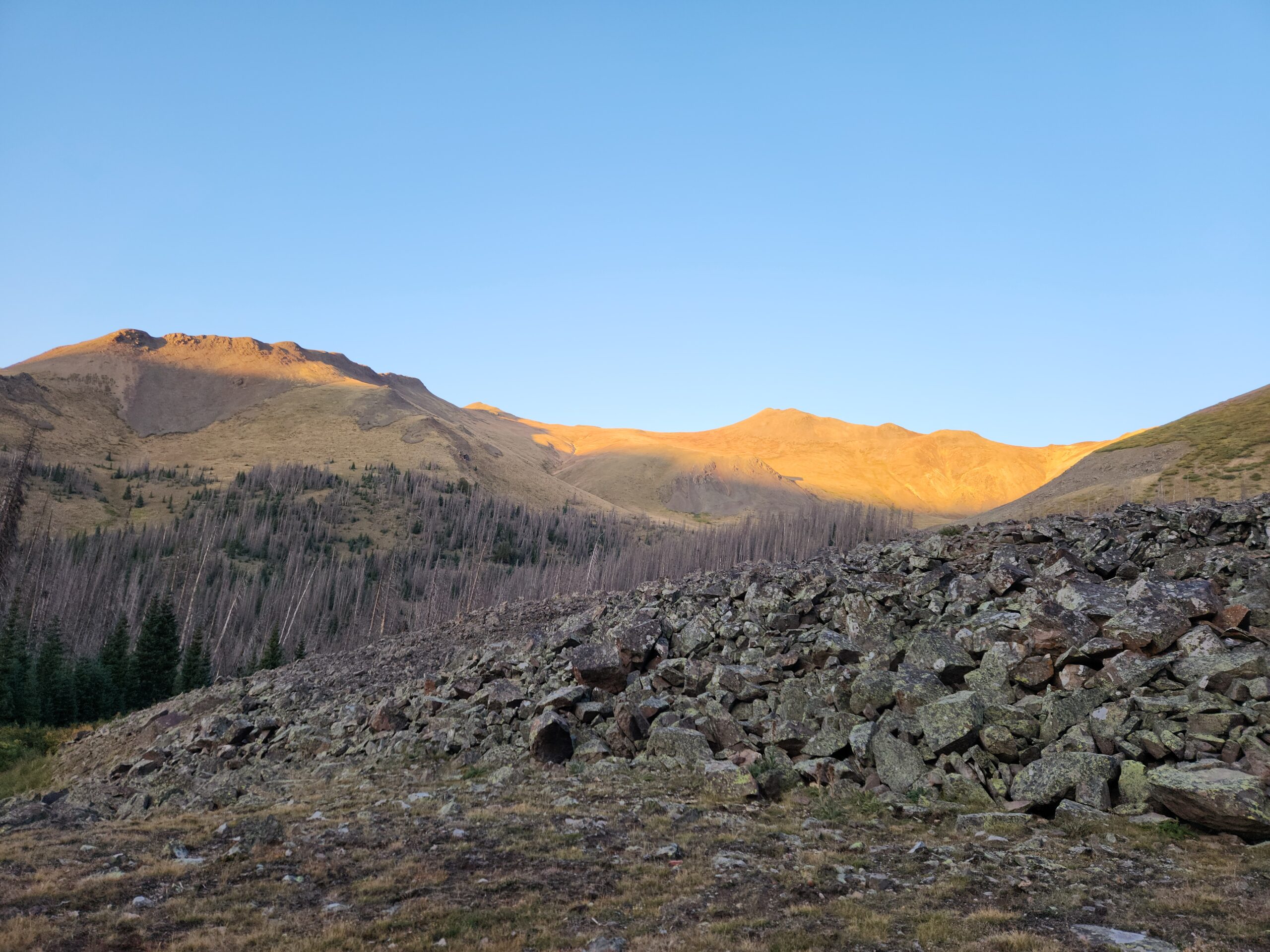
12871 feet up, the air is like crystal. You can see forever. After a brutal climb up from the pass that took way too long, I took a long break until I got cold. Off in the distance I could see the real big stuff, the San Juans. And knowing that the rest of the day is downhill was a welcome change and morale boost. I aimed for a spot about halfway down into the next valley, where my phone app said there was camping near a tiny stream.
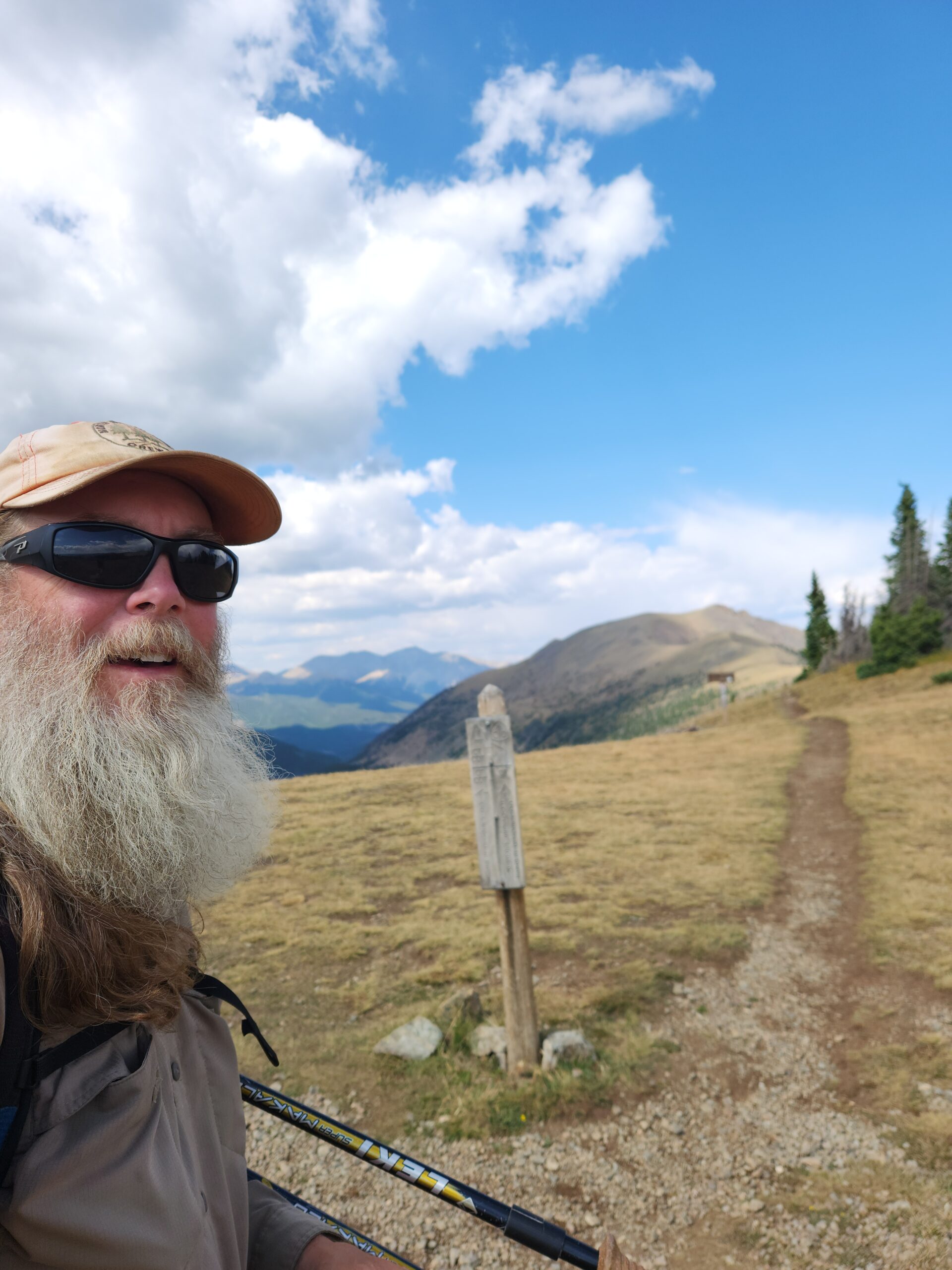
This shot is looking back up at the high point I had just traversed.
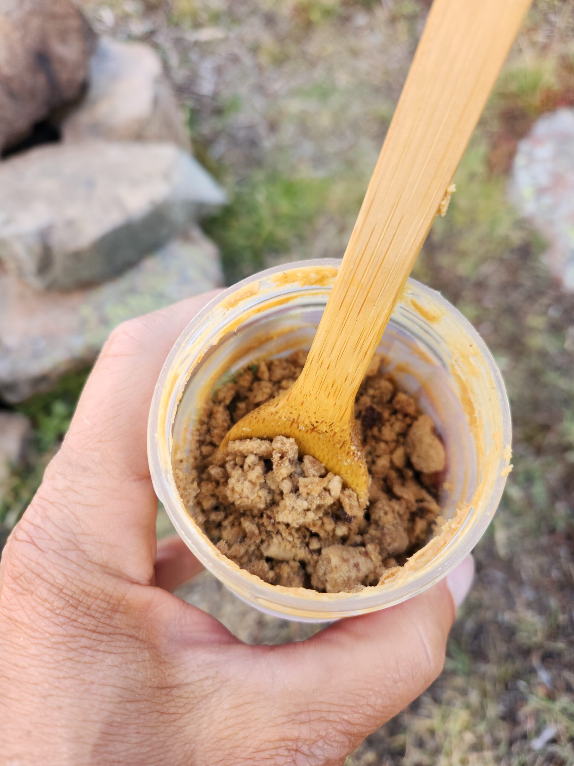
Powdered chocolate-chip cookies dumped into my PB jar.
Day6 – 117 miles to go
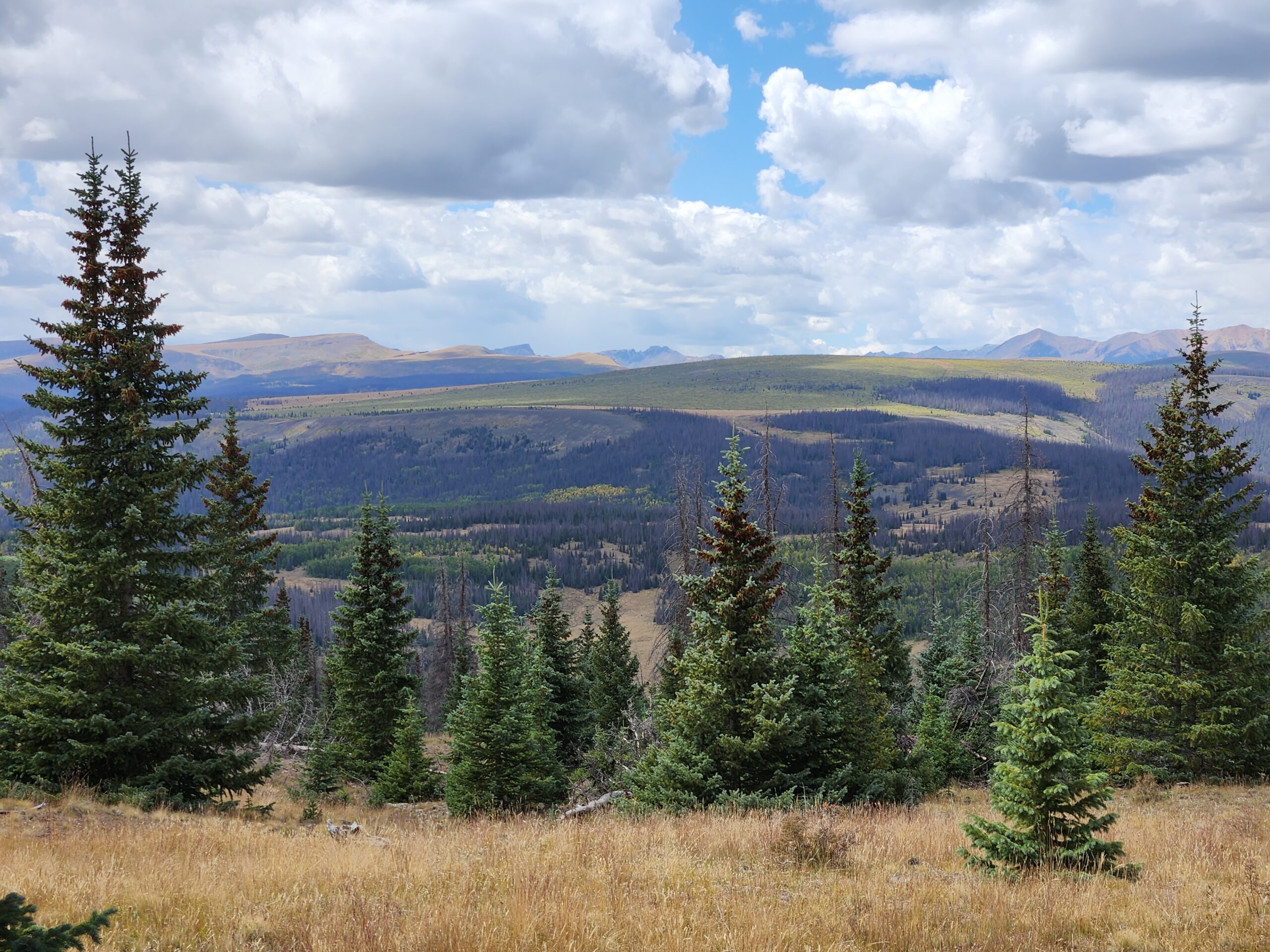
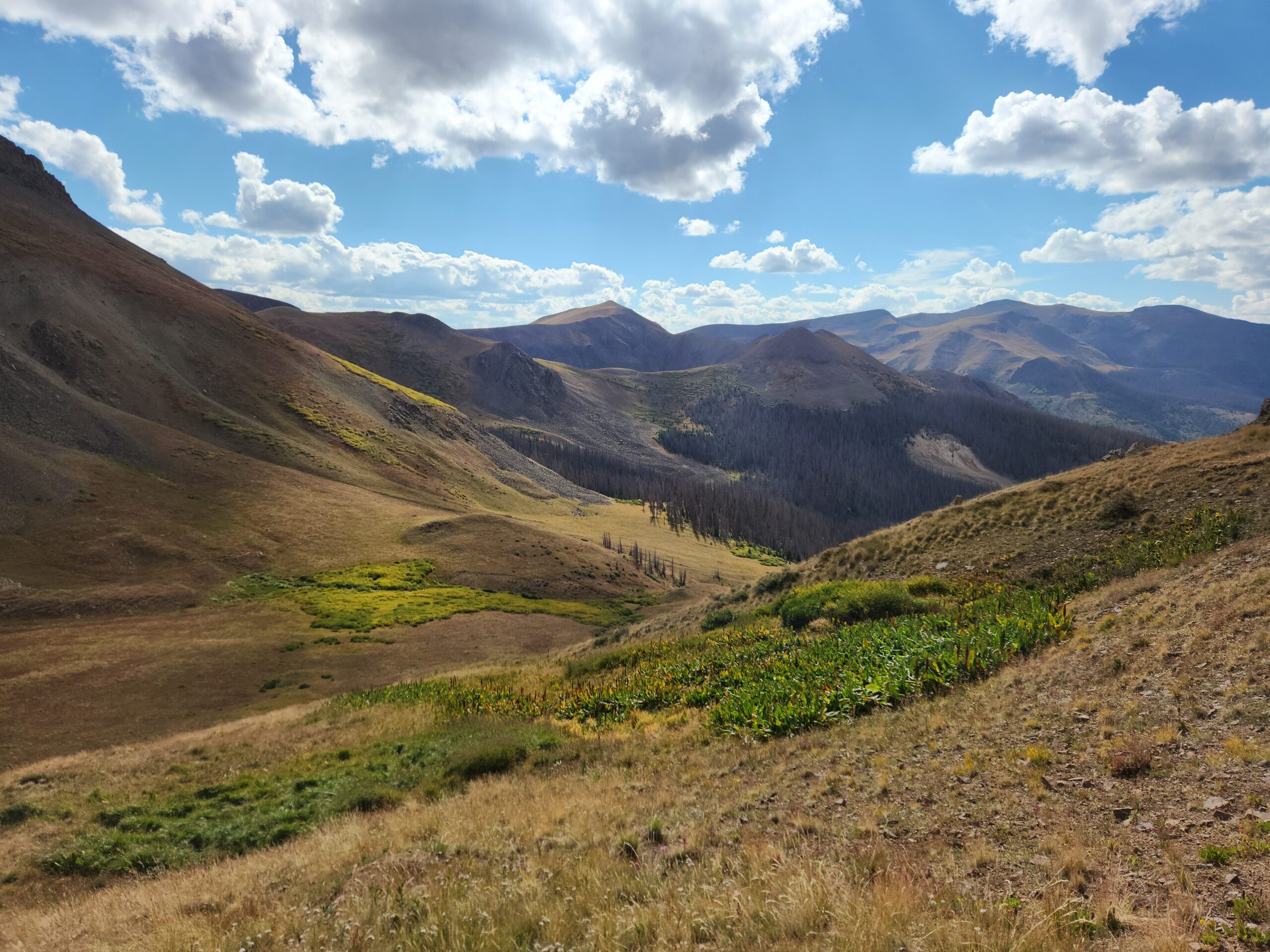
Woke up still sick, and feeling even more fried. Another freezing night with ice on the tent. I hiked down through the valley and came upon admittedly a much better site, near more water. I ran into the couple of CT hikers, and the stoner guy. A big moose had walked right through the campsite earlier. It would have been nice to camp with people, for a bit of a change. But I was eager to push on, so I filled up my water and climbed up out of the valley. The rest of the morning was high, open fields. We’re high enough here that up top there’s no trees, even if there are trees down in the valley. All morning was amazing, and I took a lot of breaks to soak it in. Despite feeling like garbage, I knew by early afternoon or so I’d be in town, and I could get a meal and a break from hiking.
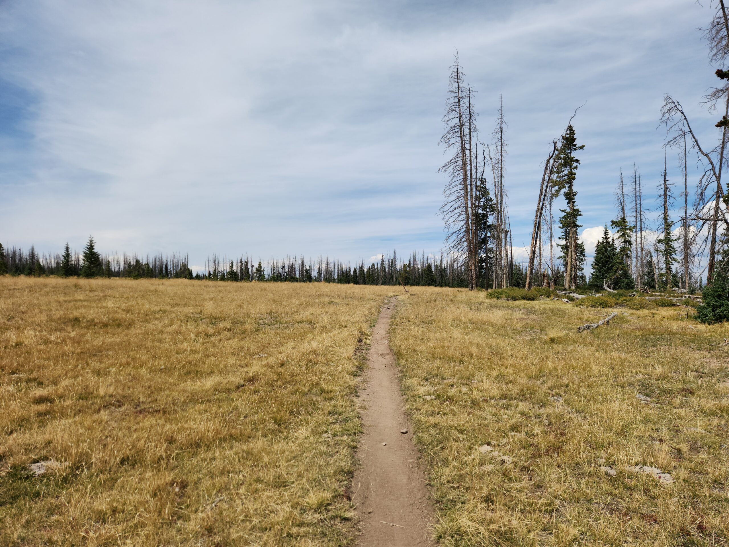
After a lot of cruisey ups and downs, the trail swung around a couple of peaks and got to Snow Mesa. Basically a 12000 foot plateau between the peaks on 1 side, and a steep valley on the other. I learned that just because it’s a plateau, it doesn’t mean it’s flat. But there were still lakes fed by snowmelt and a few streams, so I was able to go slow, take breaks, and keep my water carry down. With an empty food bag, I was really flying along. Plus I was definitely in that ‘gravity well’ around towns, and could feel the pull.
I ate my last cheese, tortillas and candy sitting on a rock, drying out my tent in the chilly breeze. The sun was baking me, but the wind was cold. And I’m sure my fever didn’t help any. The place was totally empty and vast. If you’re on the East Coast you can’t even really imagine it, there’s nothing like it out there. The high plains and the Rockies are a special place.
The trail moved down off the mesa into a rocky valley, and I passed a southbound CT hiker also making for the road. Soon trees appeared. Then more trees, and even some broadleaf ones.
At last, I could hear the road. Then I saw it, and I saw the trailhead. My pace quickened. Before long, I was at the highway. I chatted briefly with a guy at the trailhead, and hit the privy. Never waste an opportunity to use a toilet if one is presented.
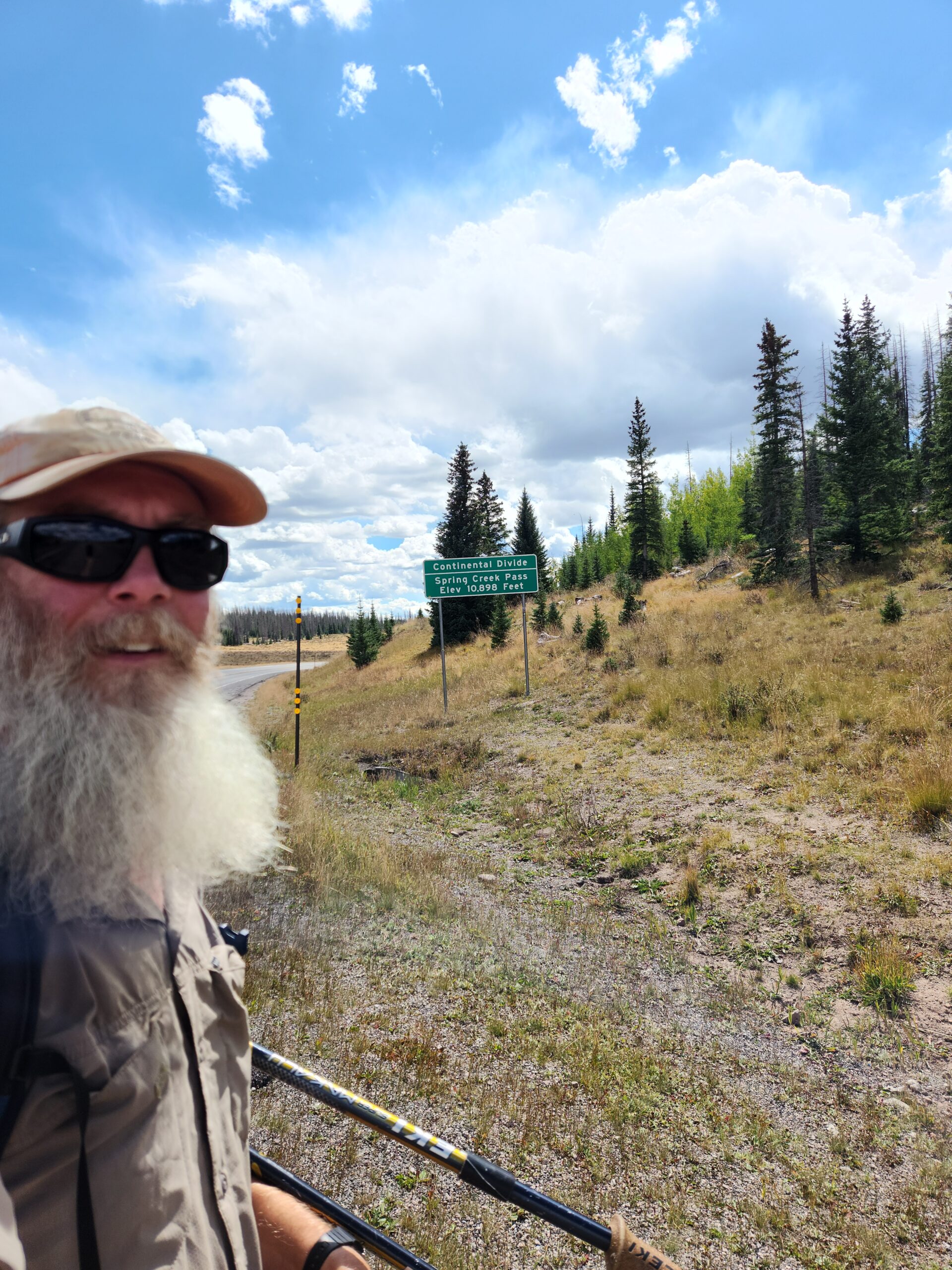
Almost no traffic on the road, but I had water, and no shame about sleeping in the trailhead parking lot. So I stuck out my thumb and flew my “CDT HIKER” sign (written on the bottom of my groundcloth in sharpie). Maybe the 10th car, in about 30 minutes, and I got a ride. I mentioned I might be sick; she said she worked at a hospital so she’s fine. It was a nice ride, the lady was a local who pointed out a number of local landmarks including Slumgullion Pass. Nearby is the Slumgullion Earthflow, a slow moving landslide that’s basically a big sand and rubble mountain gradually collapsing into the valley below at about 20 feet per year. Super weird looking, covered in trees, but also constantly moving. We got to Lake City and she dropped me off.
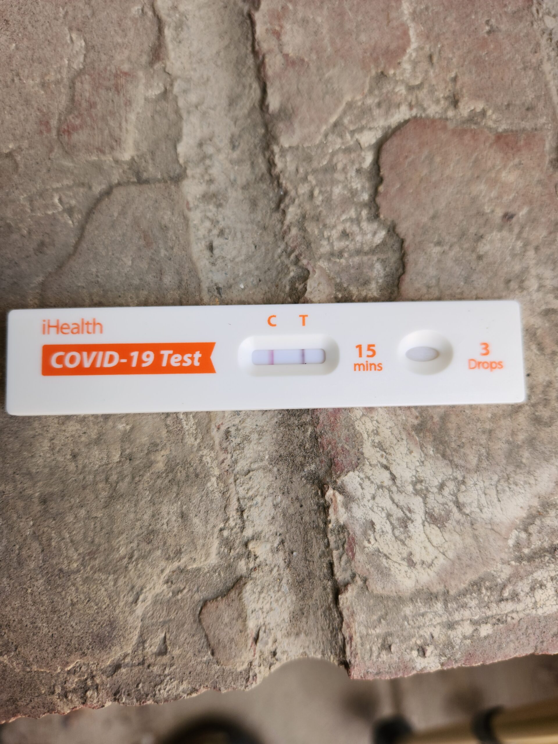
I took a moment to think about all the hiking that happened to get me there in 2022, and then all the hiking that got me here in 2025. Outside of the section between here and Pagosa Springs, it felt like I had kind of completed the whole thing. Even though I was there 3 years before, it was still all very familiar. I remembered how to get to the Library, the restaurants, the grocery store, the Post Office, and the county health office. But this time, no COVID tests. I walked in, covering my mouth with a bandana, and the woman smiled and asked “I assume you want a COVID test?” ( I later found that COVID was raging in NM and CO). They sent me up to the walk-in medical center (which wasn’t there last time). The nice lady there immediately handed me a whole box of tests!
Saw Care Bear in town. I asked her, on your last day, when you’re almost done – when you can hear the cars at Wolf Creek Pass, and you know it’s over – What are you doing? What are you telling yourself? She said, “Congratulate myself a lot.” We congratulated each other and went our separate ways.
Confirmed COVID, as before. What is it with me and Lake City? This time there’s a hiker room at the local church, kind of a drop-in center where you can just hang out – but not stay over. I swung by, masked up, and filled up water, charged my phone, drank a tea, and planned my next move. The RV park is still 20 bucks, so I went there. There were some motorcycle guys, and a couple of CT hikers. One was trying to find a missing shoe, trapped in town until he could find it, or hitch to Gunnison for more. This year we had to lock up our food because of menacing bears that come down at night. They chew sewage hoses off RVs apparently and had broken into the ‘food shed’ the night before. I thought it was cool that my phone remembered the WIFI password!
Some dick hikers in the cabin wouldn’t let me store food there, said I had to store it in the “bear shed”. As soon as they walked in they started yelling about it; I walked out without saying anything. Later one came over and made a half-hearted apology for yelling. I ignored him.
The RV people have their firepits going, and there’s a nice pine smell filling the campground. It’s getting cold, I can see my breath, so I’m in my tent.
Wait, football season started?? Is Summer over?
It’s September 8. I’ve been hiking since June 17.