If you want to skip to the end, I did hike the whole Long Trail.
Day 18 – Corliss Camp – 233
Rain started 5 min after I left the trailhead and even said out loud, in spite of the grim and lowering clouds, “I’ve got a good feeling about today.”
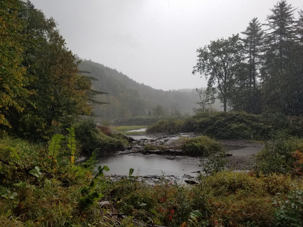
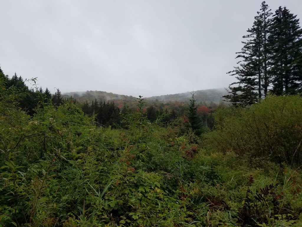
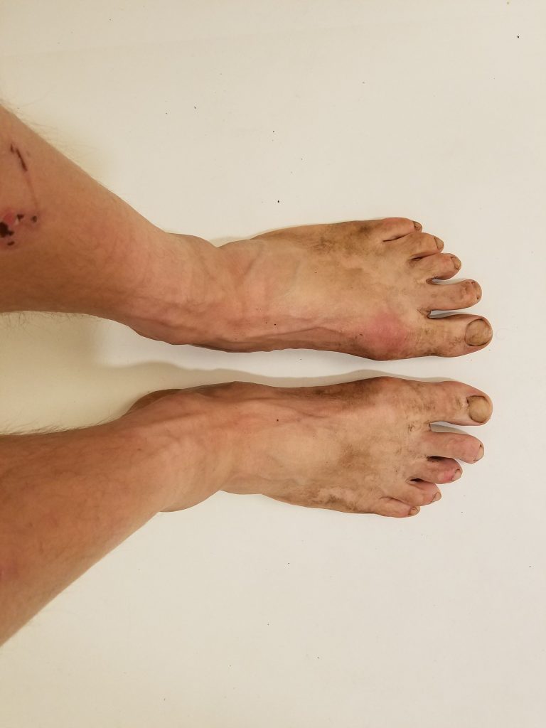
(Squint and you can see the rain pouring down – look to the right side against the dark green hemlocks). It was another head-down, watch-where-you-step, slippery moning. By midday I reached a neat little place called Coddling Hollow. There I met Zoey, a SOBO hiker, also taking a break. We talked trail stuff; the roadwalk at I-89, the bees near Hazen’s Notch, and what animals we’d each seen ( not many ).
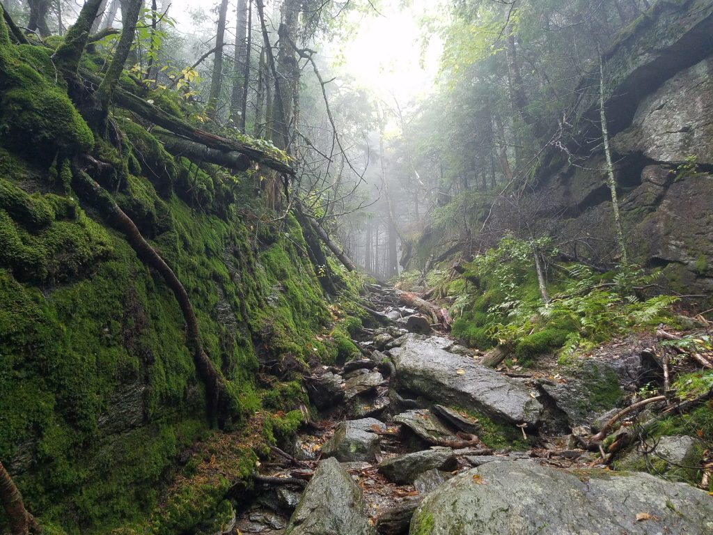
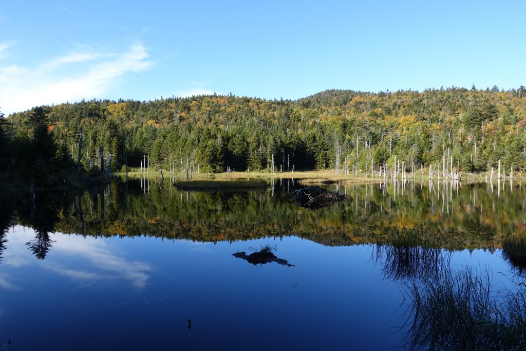
Then there was this, right out of a scene in the Hobbit as they cross through the Misty Mountains.
Met Lisa and Craig here at Corliss, two more SOBOs, who were debating pushing on towards Johnson. In the end they did, partially because they felt the need to make miles, and partially because they were freezing and wet – the best fix for which is to keep hiking.
I cooked and drank hot chocolate, then ate more chocolate, and then had dinner. In this northern section, I’ve finally gotten my Hiker Legs; I’m no longer tired at the end of the day provided I can eat – the limit is hours of daylight. Along with that comes Hiker Hunger. Bob and Louann limped in later. Just as we were all sorted and it was dark, a bunch of people rolled in. They proceeded to make a fire somehow, stomp around up in the loft above our heads, and blast us in the face with their headlamps until almost 10.
I found myself thinking unkind thoughts about them.
Kind of a sad day, now that I can clearly envision the complete map and schedule for the rest of the trip. Its like all the PCT emotions compressed into 3 weeks. I’m tired, and excited to finish, but I don’t want it to end. It’s both a Long Trail, and a short one – by the time you get into it, you’re done.
Day 19 – Tillotson Camp – 248
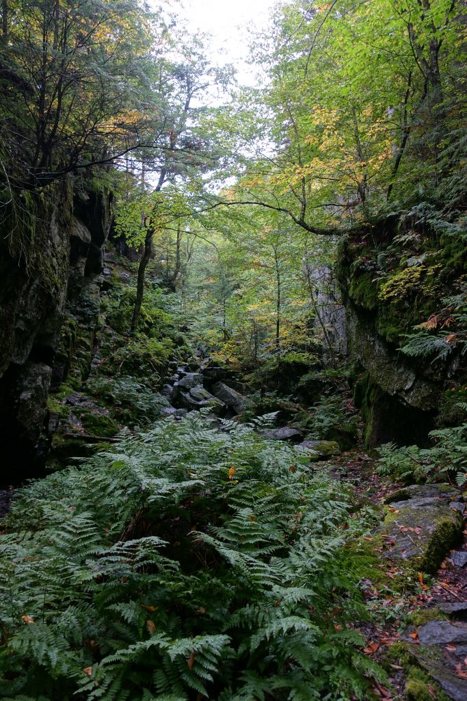
Cruised mostly down, even over Butternut Mountain, and through Devil’s Gulch, a mostly over-hyped 1/4 mile section of boulders. Everything here is SO green – I guess hence the name “Vermont”.
Rain and drizzle ended around 11 at Eden Crossing. At the road I waited for the rain to clear and had lunch, before heading up Belvidere Mountain.
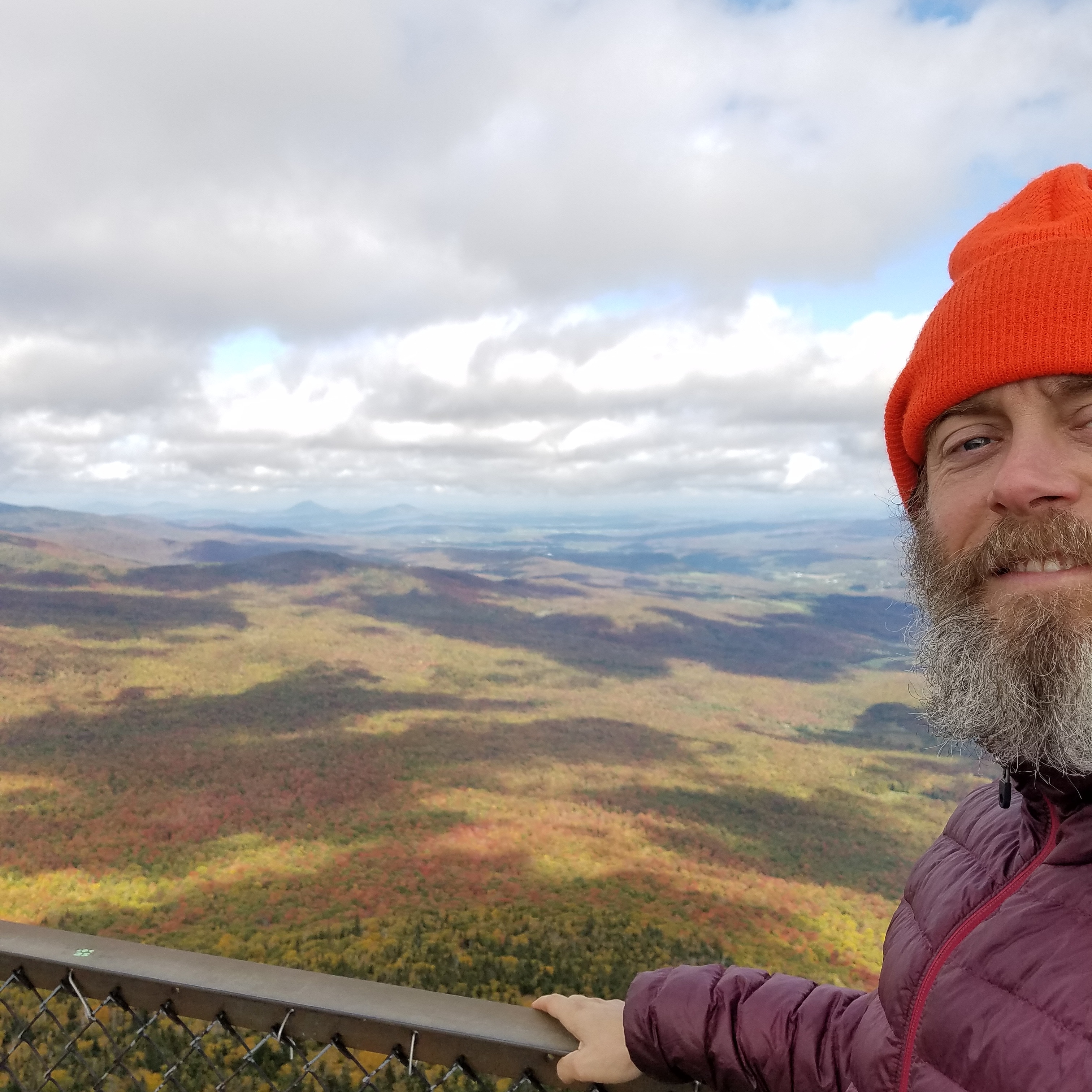
Finally saw some actual foliage, and had a good look north at Jay Peak, which was of course socked in with fog and clouds. My feet are prunes at this point from the constant mud. And everything stinks of mud.
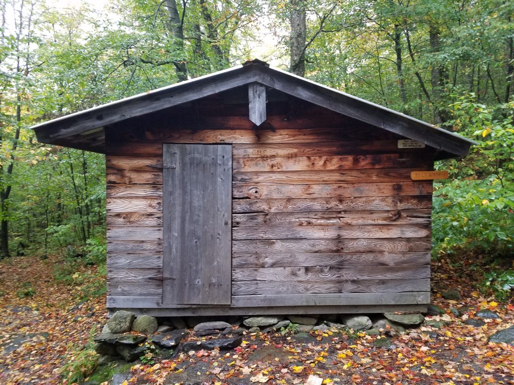
The camp itself is pretty beat. Although it does sleep 8, technically, and had a nice little table inside. I got a crummy fire going, trying to dry socks. I read over my book and maps and took mental stock of my condition, food supply (especially snacks), and general mood. I thought of doing 15 tomorrow to make last day 9 – but that would be the last 2-3 miles up and over Jay Peak, probably in the rain.
Also at Tillotson Camp was a cool southbound kid named Loverboy, so named because on the AT he once flirted his way into a free pizza. Very easy going and mellow, without being over the top and obnoxious.
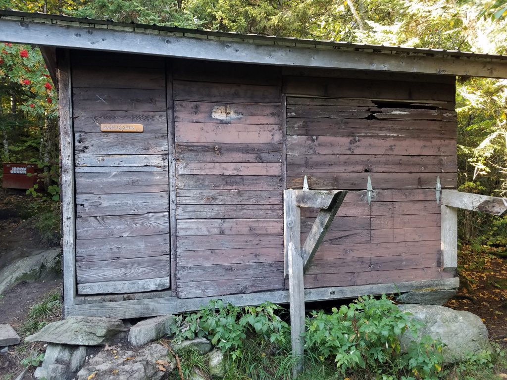
Day 20 – Laura Woodward Shelter – 263
Amazingly, rain only started at Hazen’s Notch, about 5 miles into the morning. I didn’t bother going to the actual camp, since I ran into Early Bird, a SOBO lady hiker, who told me that there was plenty of water short of the shelter. We discussed the bees, and she reported getting stung once. Nobody could describe the bees, or the exact location of the nest, only that it was about a mile after the Hazen’s Notch camp.
The rain started in earnest, and I went slowly and carefully – and saw no stinging insects of any kind, presumably because they had the sense to get out of the rain.
I got to Jay Camp after crossing Jay Pass in a downpour by about 2:30. Suzie, a NOBO hiker I had been chasing in the registers, was there, resting and debating the push over the top. I immediately stripped off my wet clothes, and stood around in my down jacket and shorts, letting my feet freeze while drying out. I also fortifyied myself with more chocolate and Fritos, and handed off my bag of sesame sticks to Suzie, who was starving.
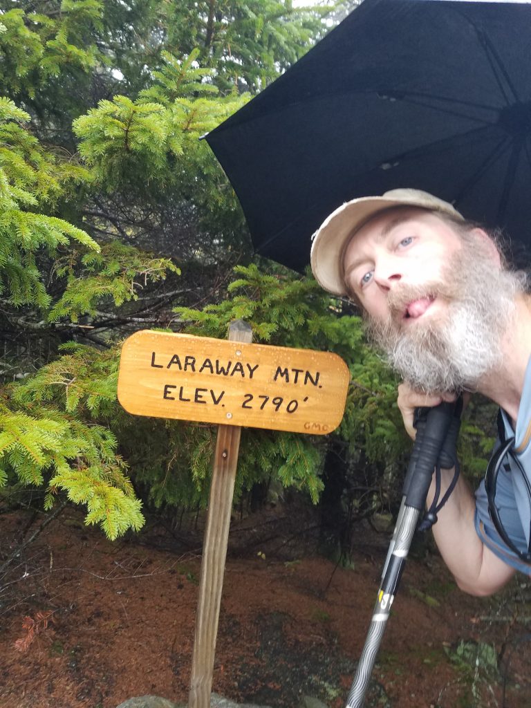
By 4 I realized I was running out of time, so I put my wet socks back on (yuck) and trudged back out into the rain under the umbrella. This time I actually put raingear on. Jay was legit; about 800 feet per mile. Three miles and 2 hours later, complete with a very windy and cold summit, I got to my last shelter of the trail, the Laura Woodward shelter, a classic 3-sider. Two SOBO hikers awaited me there, and despite them having their stuff everywhere, they gladly made space for me. After all, in the rain, the shelter is only full once the last hiker is inside.
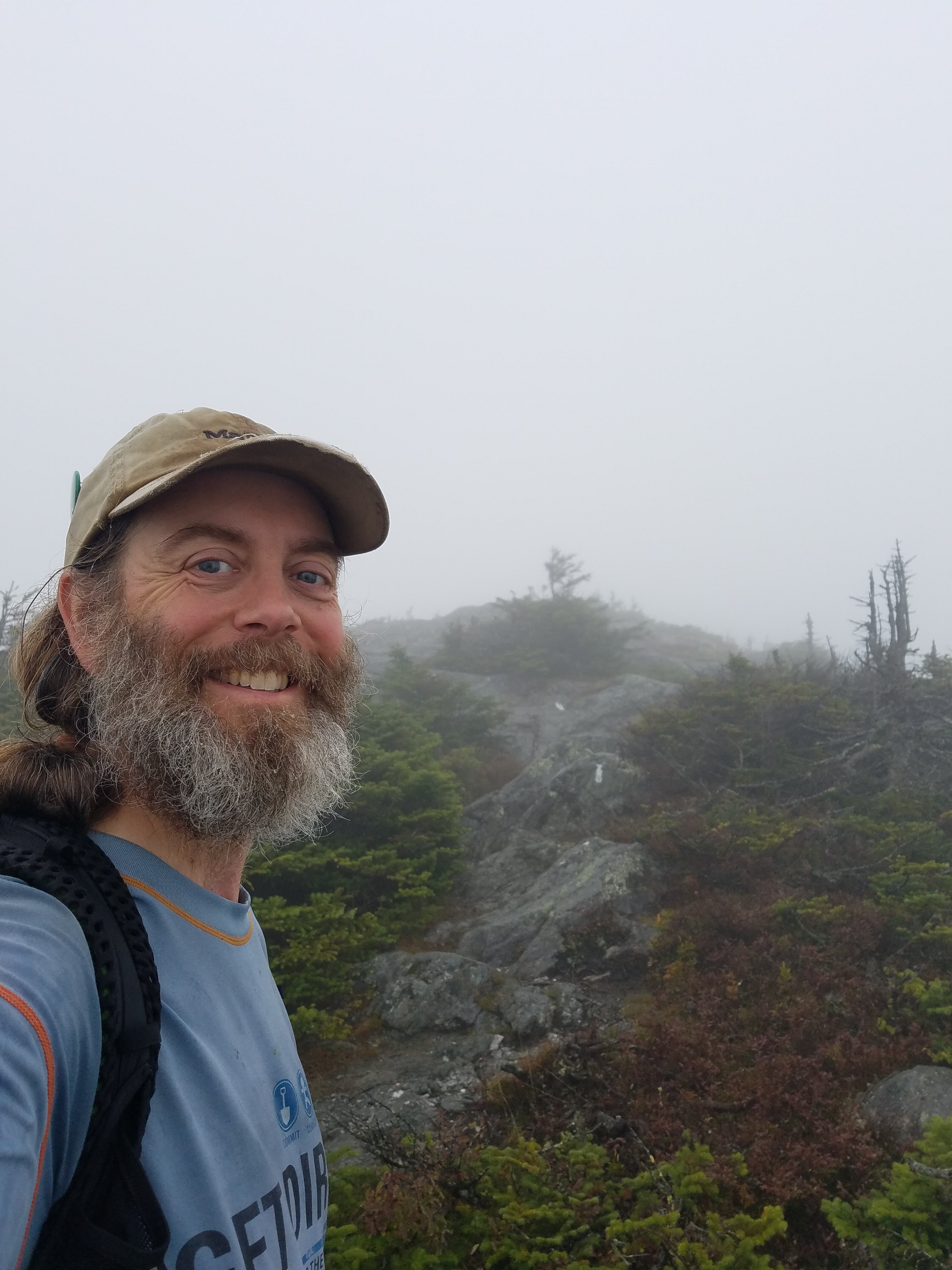
Suzie rolled in 20 min later, despite her claiming to be “slow”.
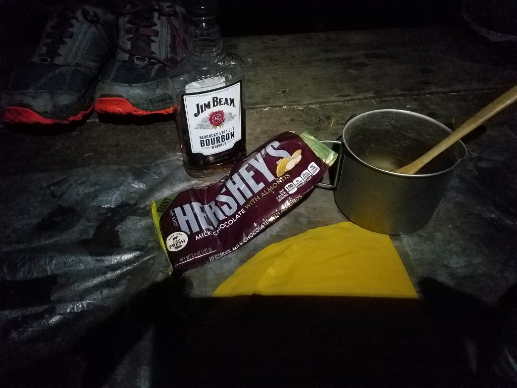
Since it was my birthday, I broke out a few refreshments for the group. Well, the chocolate was for me, but the bourbon got passed around a bit.
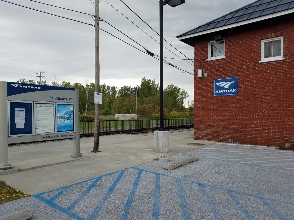
From here the plan was to do the roughly 9 miles to the end by 1 or 2pm, then a roughly 4 mile roadwalk back to VT 105, the only road around. There I could hitch west to St. Albans, where there was access on Rt 7 to Burlington, where there were buses and trains. Or take the ‘Vermonter’ Amtrak train directly from St. Albans if I got there in time.
Day 21 – Journey’s End – 273
Rained most of the night, but the sweetest sound in the world is rain hitting the roof of a shelter that you’re inside. However, since it was in the 40s and raining all night, nothing really dried. I got going really late, chatting with Suzie and the SOBOs. Like my last day on the PCT, I celebrated it by starting the day heating some water and making a starbucks+cocoa mocha to power me through the morning.
I also didn’t want it to be over.
It was more grindy, bad trail from there most of the way to the road, complete with steep, muddy sections and big puddles. I completely wiped put 3 times, once down on my face. At Shooting Star shelter, halfway to the road, I stopped for a snack. Got to 105, had lunch and dried the socks, at least a little bit.
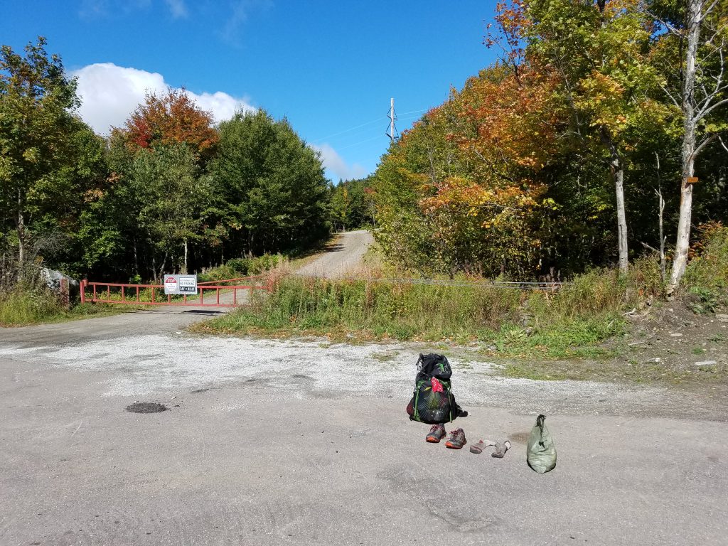
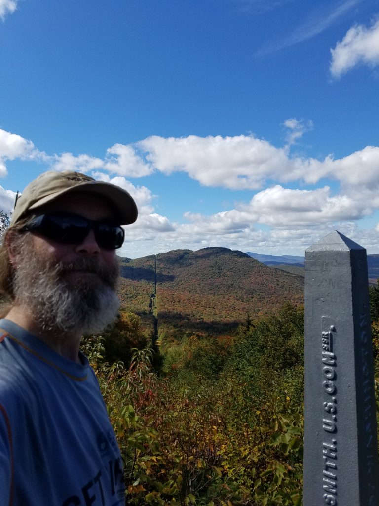
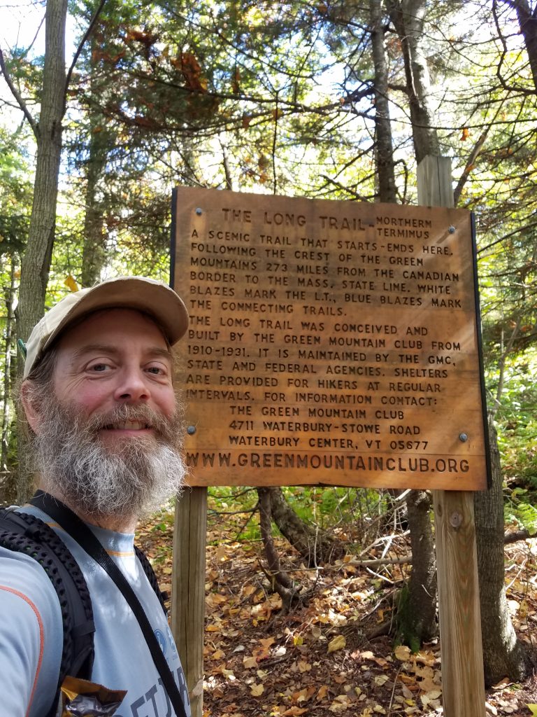
And then, around 1:30pm, I finished! 3 weeks and 273 miles later, I had hiked the entire Long Trail end to end. Hello Canada. I may or may not have crossed the border while hanging out at the end.
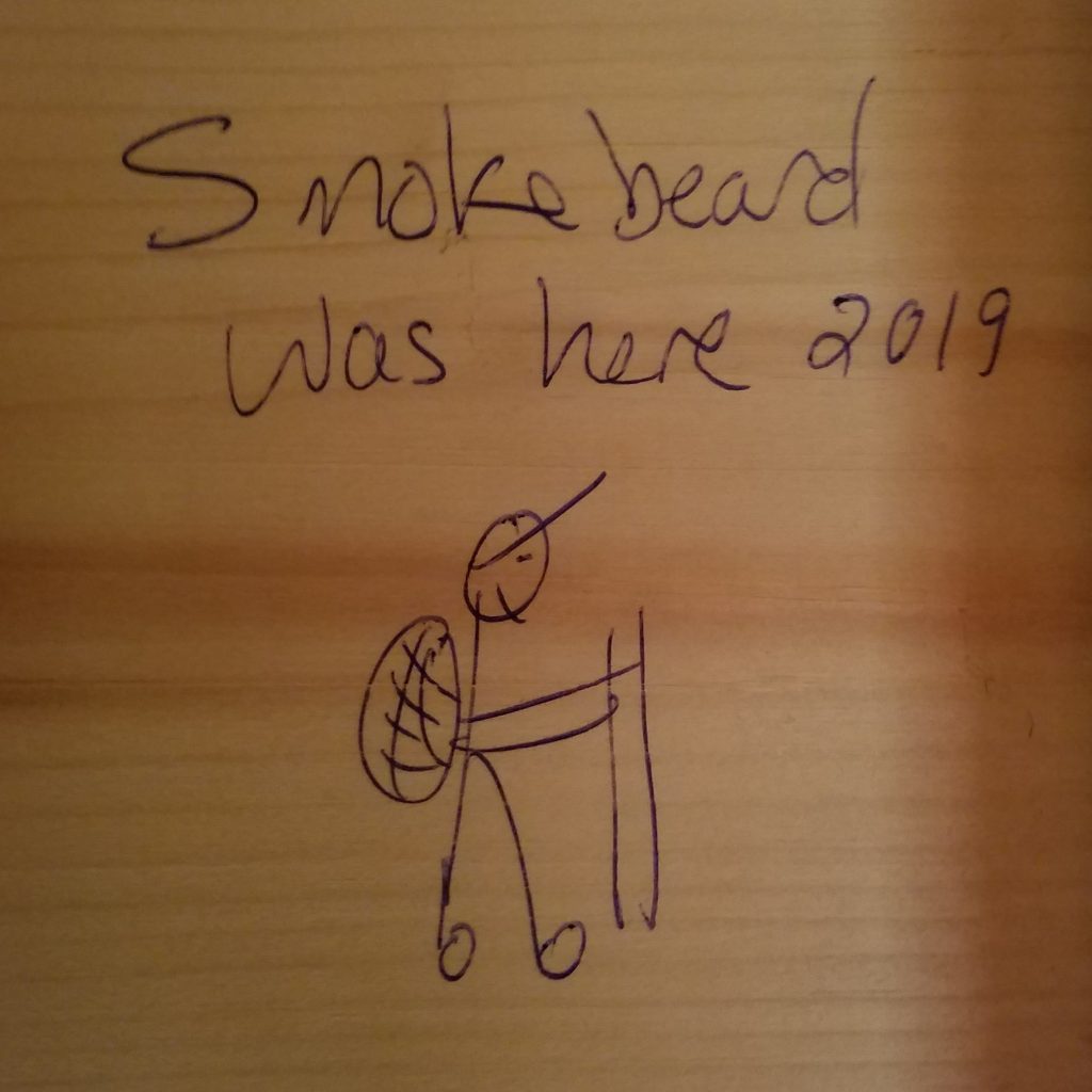
A half mile down a side trail is the famous Journey’s End camp, where I read a lot of graffiti, and added my own.
From there it was about a 3 mile roadwalk. I heard the sounds of (and then met) some day hikers, but this time it was welcoming instead of intrusive. Almost no traffic, but one guy driving down the dirt road the other way stopped, stared at me and asked, “Hey man, want a beer?”
“You know, I DO want a beer.”
So in the late afternoon sun, down the country road I walked, looking at farms and vacation homes, drinking a Trail Magic beer and eating from the omnipresent apple trees which seem to line all back roads up here. Not a bad three weeks, I thought.
Hitching
While still on the dirt road near Rt 105, someone stopped, hitched me down to 105, then back up 105 to the height of land where the trail crosses at 2.6 miles, just so I’d be in a better place to hitch.
So nice! She was a former graphic designer who decided to make changes in her life, so she moved to Vermont and started a career working with mentally handicapped adults.
Then 20 min later a guy hitched me to Jonesford, all the while complaining about how his landlord wouldn’t fix his steps (I was riding in back with the lumber) and rhapsodizing about the size of his mothers marijuana plants. He was formerly a chef, now a house painter, with 4 kids and 2 dogs. He couldn’t imagine hiking all that way without getting high. He let me off near the gas station so I could get as good hitch.
15 min after I got out of the Jonesford gas station/deli/bookstore/parcel shipping store, a woman offered to drive me to Enosburg, the next town to the west. She was a middle school math teacher, who confessed her job was getting harder and harder. In the past few years, kids have really become hard to teach. She blamed parents always being on their phones.
Then the waiting began. I focused all my hitching powers and biggest non-creepy smile, but despite there being tons of traffic at a prime 3-way intersection, including a grocery store entrance, all I got were dirty looks for half an hour. It was now after 5, and the sun sets early here. I was getting ready to tarp behind the grocery store when a car stopped.
Over the next half hour or so as we drove to St. Albans, my ride alternately raved about E.coli, crop rotation, Democrats, Republicans, Libertarians, Rand Paul, Bernie Sanders, farm subsidies, the book he wrote but it angered too many people so it wasn’t selling, swigged from his after-work beer, explained how Massachusetts was great because of the time when he was homeless and “got in a fight with a washing machine”, the cops brought him to the ER for stitches and didn’t confiscate his weed, and then rambled on about the business he was starting. He brought me right into St. Albans, and showed me the train station, although not before offering to fight “some rednecks” who had honked at him at a red light.
Here I felt like he was at the point where he was going to offer to go out drinking, or to offer me a place to sleep on his couch. I made my excuses and left. I debated sleeping by the train tracks, but his admonitions about “crackheads in St. Albans”, and seeing some less-than-savory people hanging around the tracks, AND the presence of a hotel a block away sealed the deal; I was hiker trash no more.
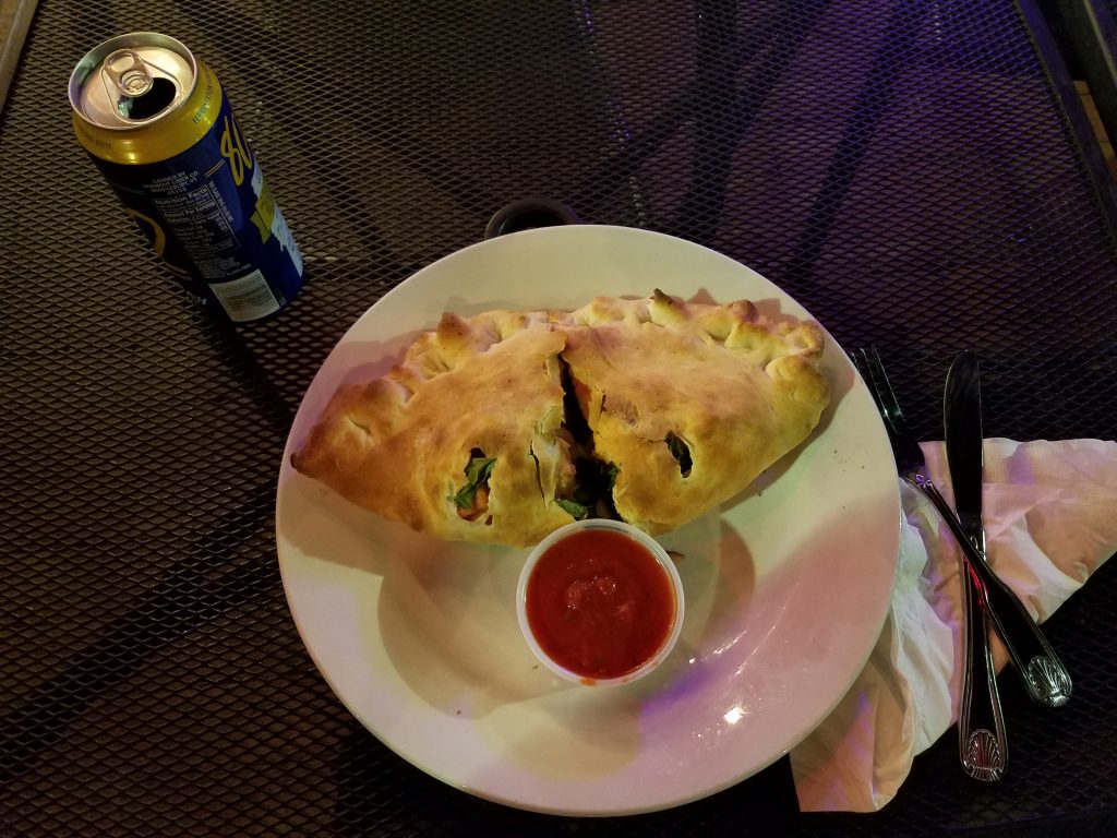
The Amtrak Vermonter train runs from St. Albans all the way to D.C., if you have the patience.
The nice agent in the office told me to buy my ticket online since it was cheaper. Then he went back to reading his paper. Hey Amtrak, this is why people mock you. Also your $3.50 cups of crappy Dunkin’ Donuts coffee in the ‘cafe car’. Seriously?
Once on the train, I talked to the only other passenger, who happens to live and work near some of my family in Massachusetts, and actually knows my uncle. Small world!
The train was very nice; pretty much like flying but with a lot of leg room, Wifi, and your own wall outlet. And it was only $64. Plus you could get up and walk around at any time, and the bathrooms were not tiny torture chambers. In 50 minutes down the Winooski river, I was already back to Camels Hump. Slightly depressing that it took me 9 days to walk that far. But they were nine beautiful days (except for some rain).
The scenery is gorgeous, the farms and small communities less so; lots of wasted effort, false starts, and sunk capital doing nothing but rust. Or maybe that’s just the sample I’m seeing, after all, who wants to live next to the train tracks? Just as I was getting really bummed out about it all after seeing a lot full of generators being reclaimed by weeds, the train crept through the town of Randolph, where a woman with two grade school age kids were watching the train go by. Seeing how excited the kids were watching the trail gave me an unexpected burst of hope.
By 4pm I had rolled into Hartford where my ride awaited. Homeword bound!
My Long Trail summary
273 miles “End to End”
4 “4000 footers” – Mt. Abraham, Mt. Ellen, Camels Hump, and Mt. Mansfield.
21 days
13 miles per day average across the whole hike
4 resupplies – Manchester at mile 55, Rutland at mile 104, Waitsfield at mile 163, and Johnson at mile 222.
3 ‘nero’ days where I only did a few getting into town
2 town overnights – the famous Inn at the Long Trail, and the Green Valley B&B
Longest day – roughly 25 miles including side trails
4.1 miles of side trail to reach the southern terminus
1.3 miles of trail, then 2.2 miles of roadwalk once you reach the northern end
